London night lights from space
Night Light of London (Ontario) from space (Canada) Src. Average luminocity for 10x10km area is 94.5111% and for 50x50km: 14.2949%.
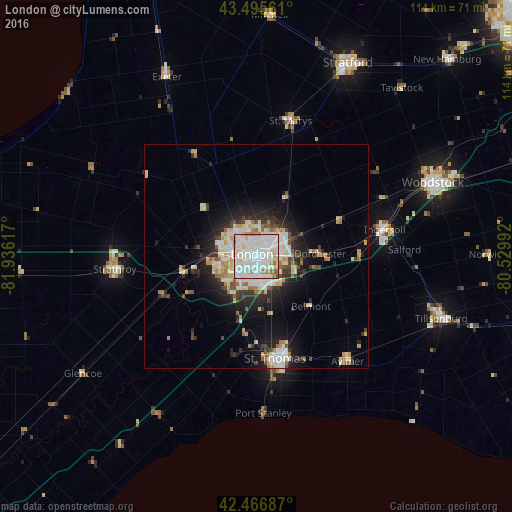
Analysis of London night lights 2016
Square area 10x10 km:
 43.49%
90-99
37.78%80-89
8.1%70-79
5.24%60-69
3.17%50-59
2.06%40-49
0.16%30-39
0%20-29
0%10-19
0%0-9
0%Square area 50x50 km:
3.04%90-99
3.64%80-89
1.88%70-79
1.33%60-69
1.36%50-59
0.85%40-49
1.22%30-39
1.55%20-29
3.58%10-19
7.07%0-9
74.47%Clear (daylight) street map image can be seen on geolist.org.
Map coordinates:
43° 29' 44.2" North, 81° 56' 10.2" West
42° 59' 0.2" North, 81° 13' 58.9" West
42° 28' 0.7" North, 80° 31' 47.7" West
Some cities around London sort by population:
• Woodstock
42.7 km =26.5 mi,  66°
66°
• St. Thomas
23.7 km =14.7 mi,  169°
169°
• Stratford
48.4 km =30.1 mi,  28°
28°
• Ingersoll
29 km =18 mi,  78°
78°
• Lambton Shores
60.4 km =37.5 mi,  289°
289°
• South Huron
43.6 km =27.1 mi,  328°
328°
• Dorchester
13.6 km =8.5 mi,  90°
90°
• Aylmer
31.5 km =19.6 mi,  139°
139°
6058560 (p: 346,765)
Sources (retrieved 2019-11-25):
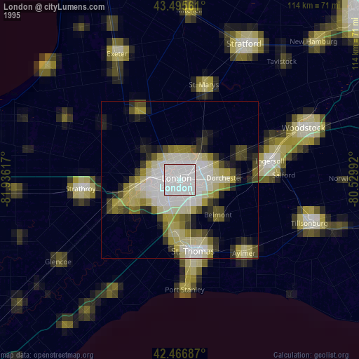
» NASA, Earths city lights 1995
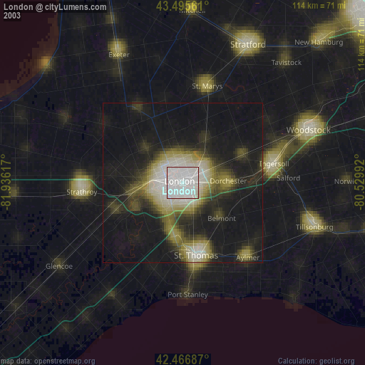
» NASA city lights 2003
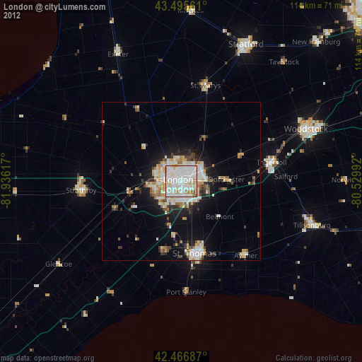
» Earth at Night: Flat Maps 2012, 2016