Mont-Laurier night lights from space
Night Light of Mont-Laurier (Quebec) from space (Canada) Src. Average luminocity for 10x10km area is 13.4901% and for 50x50km: 0.7492%.
Analysis of Mont-Laurier night lights 2016
Square area 10x10 km:
 1.28%
1.28%90-99
2.27%80-89
3.27%70-79
1.7%60-69
1.7%50-59
0.43%40-49
1.28%30-39
0.85%20-29
0.28%10-19
3.27%0-9
83.66%Square area 50x50 km:
0.05%90-99
0.12%80-89
0.13%70-79
0.09%60-69
0.1%50-59
0.06%40-49
0.1%30-39
0.14%20-29
0.11%10-19
0.15%0-9
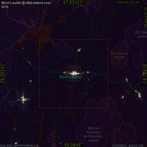
98.95%Clear (daylight) street map image can be seen on geolist.org.
Map coordinates:
47° 1' 53.4" North, 76° 12' 8.7" West
46° 33' 0.4" North, 75° 29' 57.5" West
46° 3' 51.8" North, 74° 47' 46.2" West
Some cities around Mont-Laurier sort by population:
• Gatineau
120.3 km =74.8 mi,  187°
187°
• Fallingbrook
119.5 km =74.3 mi,  179°
179°
• Clarence-Rockland
112.3 km =69.8 mi,  171°
171°
• Buckingham
107.4 km =66.7 mi, 176°
• Queenswood Heights
120 km =74.6 mi, 180°
• Cantley
111.5 km =69.3 mi, 191°
• Val-des-Monts
100.9 km =62.7 mi, 187°
• Sainte-Agathe-des-Monts
108.8 km =67.6 mi,  120°
120°
6077128 (p: 13,405)
Sources (retrieved 2019-11-25):
» Earth at Night: Flat Maps 2012, 2016