Mazyr night lights from space
Night Light of Mazyr (Gomel Oblast) from space (Belarus) Src. Average luminocity for 10x10km area is 6.0303% and for 50x50km: 1.2734%.
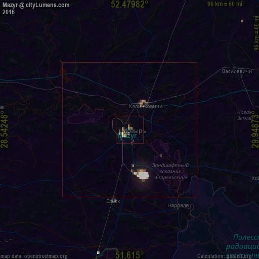
Analysis of Mazyr night lights 2016
Square area 10x10 km:
 0%
0%90-99
0%80-89
0.51%70-79
0.38%60-69
1.77%50-59
2.27%40-49
1.39%30-39
2.27%20-29
2.02%10-19
0.76%0-9
88.64%Square area 50x50 km:
0.22%90-99
0.16%80-89
0.08%70-79
0.07%60-69
0.14%50-59
0.19%40-49
0.23%30-39
0.21%20-29
0.23%10-19
1%0-9
97.46%Clear (daylight) street map image can be seen on geolist.org.
Map coordinates:
52° 28' 47.4" North, 28° 32' 32.9" East
52° 2' 58.2" North, 29° 14' 44.2" East
51° 36' 54" North, 29° 56' 55.4" East
Some cities around Mazyr sort by population:
• Svyetlahorsk
73 km =45.4 mi,  27°
27°
• Rechytsa
85.5 km =53.1 mi,  66°
66°
• Kalinkavichy
10.7 km =6.6 mi, 30°
• Ovruch, UA
86.2 km =53.6 mi,  200°
200°
• Zhytkavichy
96.6 km =60 mi,  281°
281°
• Khoyniki
51.7 km =32.1 mi,  109°
109°
• Pyetrykaw
52.2 km =32.4 mi, 279°
• Hlusk
102.2 km =63.5 mi,  338°
338°
625324 (p: 112,137)
Sources (retrieved 2019-11-25):
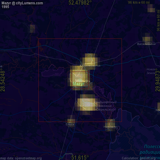
» NASA, Earths city lights 1995
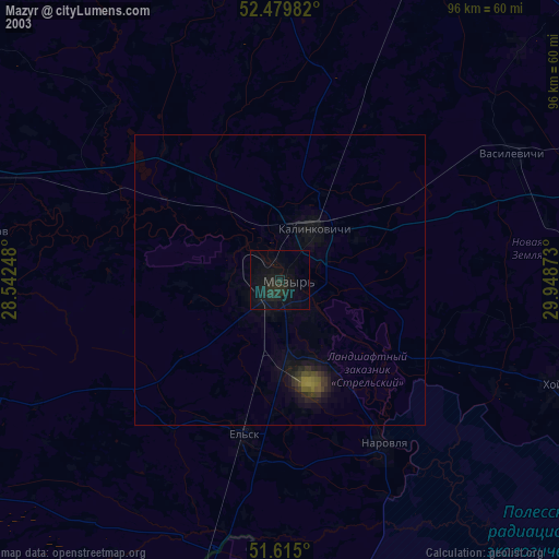
» NASA city lights 2003
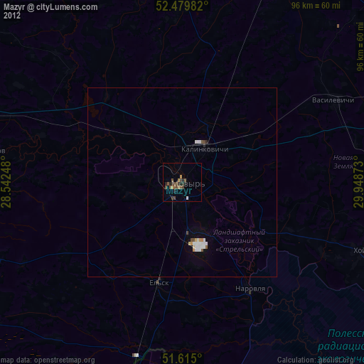
» Earth at Night: Flat Maps 2012, 2016