Kalinkavichy night lights from space
Night Light of Kalinkavichy (Gomel Oblast) from space (Belarus) Src. Average luminocity for 10x10km area is 3.1336% and for 50x50km: 0.575%.
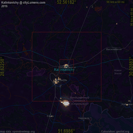
Analysis of Kalinkavichy night lights 2016
Square area 10x10 km:
 0%
0%90-99
0%80-89
0%70-79
0.66%60-69
0.4%50-59
0%40-49
1.98%30-39
1.59%20-29
1.19%10-19
1.59%0-9
92.59%Square area 50x50 km:
0%90-99
0%80-89
0.02%70-79
0.06%60-69
0.12%50-59
0.12%40-49
0.16%30-39
0.19%20-29
0.17%10-19
0.48%0-9
98.69%Clear (daylight) street map image can be seen on geolist.org.
Map coordinates:
52° 33' 42.6" North, 28° 37' 21.3" East
52° 7' 56.3" North, 29° 19' 32.5" East
51° 41' 55" North, 30° 1' 43.8" East
Some cities around Kalinkavichy sort by population:
• Mazyr
10.7 km =6.6 mi,  210°
210°
• Zhlobin
96.8 km =60.1 mi,  29°
29°
• Svyetlahorsk
62.3 km =38.7 mi, 26°
• Rechytsa
76.9 km =47.8 mi,  70°
70°
• Ovruch, UA
96.7 km =60.1 mi,  201°
201°
• Khoyniki
50.7 km =31.5 mi,  121°
121°
• Pyetrykaw
56.9 km =35.4 mi,  269°
269°
• Hlusk
96 km =59.7 mi,  333°
333°
627751 (p: 37,190)
Sources (retrieved 2019-11-25):
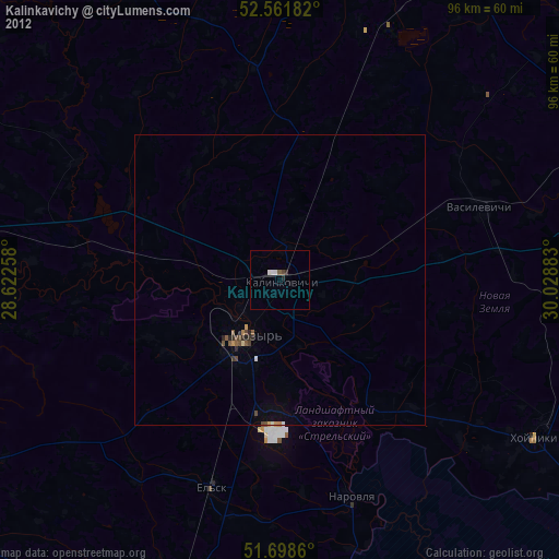
» Earth at Night: Flat Maps 2012, 2016