Pyetrykaw night lights from space
Night Light of Pyetrykaw (Gomel Oblast) from space (Belarus) Src. Average luminocity for 10x10km area is 0.164% and for 50x50km: 0.0174%.
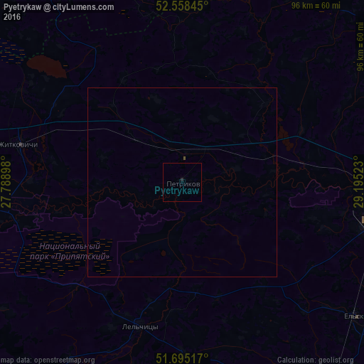
Analysis of Pyetrykaw night lights 2016
Square area 10x10 km:
 0%
0%90-99
0%80-89
0%70-79
0%60-69
0%50-59
0%40-49
0%30-39
0%20-29
0.53%10-19
0%0-9
99.47%Square area 50x50 km:
0%90-99
0%80-89
0%70-79
0%60-69
0%50-59
0%40-49
0.02%30-39
0%20-29
0.02%10-19
0%0-9
99.96%Clear (daylight) street map image can be seen on geolist.org.
Map coordinates:
52° 33' 30.4" North, 27° 47' 20.3" East
52° 7' 44" North, 28° 29' 31.6" East
51° 41' 42.6" North, 29° 11' 42.8" East
Some cities around Pyetrykaw sort by population:
• Mazyr
52.2 km =32.4 mi,  99°
99°
• Kalinkavichy
56.9 km =35.4 mi,  89°
89°
• Ovruch, UA
92 km =57.2 mi,  166°
166°
• Mikashevichy
70 km =43.5 mi,  278°
278°
• Zhytkavichy
44.5 km =27.7 mi, 282°
• Lyuban’
81.4 km =50.6 mi,  336°
336°
• Hlusk
87.1 km =54.1 mi,  8°
8°
• Davyd-Haradok
87.5 km =54.4 mi,  264°
264°
623581 (p: 10,552)
Sources (retrieved 2019-11-25):
» Earth at Night: Flat Maps 2012, 2016