Hlusk night lights from space
Night Light of Hlusk (Mogilev) from space (Belarus) Src. Average luminocity for 10x10km area is 0% and for 50x50km: 0%.
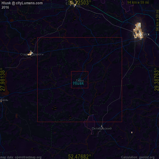
Analysis of Hlusk night lights 2016
Square area 10x10 km:
 0%
0%90-99
0%80-89
0%70-79
0%60-69
0%50-59
0%40-49
0%30-39
0%20-29
0%10-19
0%0-9
100%Square area 50x50 km:
0%90-99
0%80-89
0%70-79
0%60-69
0%50-59
0%40-49
0%30-39
0%20-29
0%10-19
0%0-9
100%Clear (daylight) street map image can be seen on geolist.org.
Map coordinates:
53° 19' 30.1" North, 27° 58' 53" East
52° 54' 10.8" North, 28° 41' 4.2" East
52° 28' 36.6" North, 29° 23' 15.5" East
Some cities around Hlusk sort by population:
• Babruysk
44.4 km =27.6 mi,  53°
53°
• Svyetlahorsk
77 km =47.8 mi,  112°
112°
• Slutsk
76.6 km =47.6 mi,  280°
280°
• Asipovichy
44.4 km =27.6 mi,  356°
356°
• Mar’’ina Horka
76.3 km =47.4 mi,  332°
332°
• Lyuban’
47.1 km =29.3 mi,  255°
255°
• Staryya Darohi
31.8 km =19.8 mi,  298°
298°
• Kirawsk
66.7 km =41.4 mi, 52°
628387 (p: 7,800)
Sources (retrieved 2019-11-25):
» Earth at Night: Flat Maps 2012, 2016