Zhytkavichy night lights from space
Night Light of Zhytkavichy (Gomel Oblast) from space (Belarus) Src. Average luminocity for 10x10km area is 0.2011% and for 50x50km: 0.0125%.
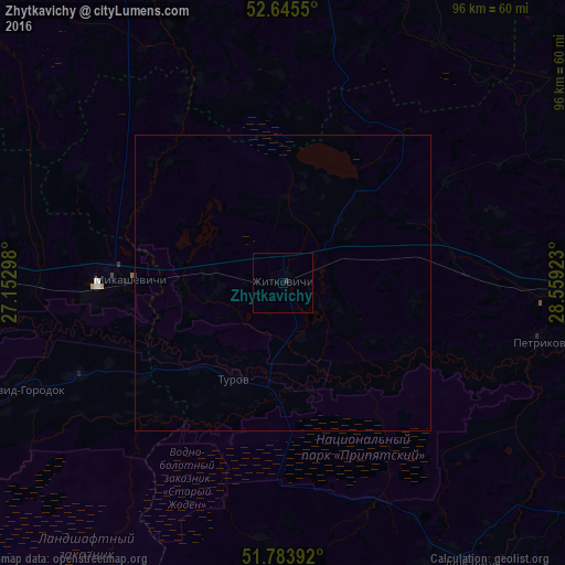
Analysis of Zhytkavichy night lights 2016
Square area 10x10 km:
 0%
0%90-99
0%80-89
0%70-79
0%60-69
0%50-59
0%40-49
0%30-39
0.53%20-29
0%10-19
0%0-9
99.47%Square area 50x50 km:
0%90-99
0%80-89
0%70-79
0%60-69
0%50-59
0%40-49
0%30-39
0.02%20-29
0.01%10-19
0%0-9
99.97%Clear (daylight) street map image can be seen on geolist.org.
Map coordinates:
52° 38' 43.8" North, 27° 9' 10.7" East
52° 13' 0.5" North, 27° 51' 22" East
51° 47' 2.1" North, 28° 33' 33.2" East
Some cities around Zhytkavichy sort by population:
• Salihorsk
66.9 km =41.6 mi,  341°
341°
• Luninyets
71.7 km =44.6 mi,  272°
272°
• Mikashevichy
25.9 km =16.1 mi, 270°
• Pyetrykaw
44.5 km =27.7 mi,  102°
102°
• Stolin
78 km =48.5 mi,  242°
242°
• Lyuban’
65.5 km =40.7 mi,  8°
8°
• Davyd-Haradok
47.2 km =29.3 mi,  247°
247°
• Starobin
62.7 km =39 mi,  334°
334°
618815 (p: 13,630)
Sources (retrieved 2019-11-25):
» Earth at Night: Flat Maps 2012, 2016