Khoyniki night lights from space
Night Light of Khoyniki (Gomel Oblast) from space (Belarus) Src. Average luminocity for 10x10km area is 0.9508% and for 50x50km: 0.0396%.
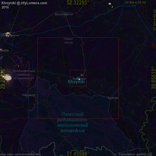
Analysis of Khoyniki night lights 2016
Square area 10x10 km:
 0%
0%90-99
0%80-89
0.51%70-79
0%60-69
0%50-59
0%40-49
0%30-39
0.38%20-29
1.14%10-19
0.51%0-9
97.47%Square area 50x50 km:
0%90-99
0%80-89
0.02%70-79
0%60-69
0%50-59
0%40-49
0%30-39
0.02%20-29
0.05%10-19
0.02%0-9
99.89%Clear (daylight) street map image can be seen on geolist.org.
Map coordinates:
52° 19' 22.6" North, 29° 15' 7.5" East
51° 53' 28" North, 29° 57' 18.7" East
51° 27' 18.2" North, 30° 39' 30" East
Some cities around Khoyniki sort by population:
• Homyel'
92.2 km =57.3 mi,  49°
49°
• Mazyr
51.7 km =32.1 mi,  289°
289°
• Svyetlahorsk
83.8 km =52.1 mi,  349°
349°
• Rechytsa
60.2 km =37.4 mi,  29°
29°
• Kalinkavichy
50.7 km =31.5 mi,  301°
301°
• Slavutych, UA
66.7 km =41.4 mi,  127°
127°
• Ripky, UA
78.2 km =48.6 mi,  97°
97°
• Loyew
57.9 km =36 mi,  83°
83°
627362 (p: 13,200)
Sources (retrieved 2019-11-25):
» Earth at Night: Flat Maps 2012, 2016