Krupki night lights from space
Night Light of Krupki (Minsk) from space (Belarus) Src. Average luminocity for 10x10km area is 2.7293% and for 50x50km: 0.1807%.
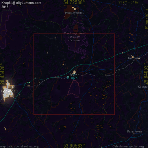
Analysis of Krupki night lights 2016
Square area 10x10 km:
 0%
0%90-99
0%80-89
0.5%70-79
0.5%60-69
0.5%50-59
1%40-49
0.5%30-39
0.5%20-29
1%10-19
0%0-9
95.49%Square area 50x50 km:
0%90-99
0%80-89
0.02%70-79
0.02%60-69
0.04%50-59
0.04%40-49
0.02%30-39
0.1%20-29
0.1%10-19
0.02%0-9
99.64%Clear (daylight) street map image can be seen on geolist.org.
Map coordinates:
54° 43' 33.2" North, 28° 26' 3.4" East
54° 19' 4.1" North, 29° 8' 14.6" East
53° 54' 20.3" North, 29° 50' 25.9" East
Some cities around Krupki sort by population:
• Barysaw
42.3 km =26.3 mi,  256°
256°
• Horad Zhodzina
57.7 km =35.9 mi,  245°
245°
• Novolukoml’
38.3 km =23.8 mi,  1°
1°
• Byerazino
54.1 km =33.6 mi,  190°
190°
• Talachyn
37.5 km =23.3 mi,  74°
74°
• Byalynichy
51.6 km =32.1 mi,  133°
133°
• Kruhlaye
43.5 km =27 mi,  100°
100°
• Loshnitsa
24.5 km =15.2 mi, 260°
626471 (p: 8,600)
Sources (retrieved 2019-11-25):
» Earth at Night: Flat Maps 2012, 2016