Novolukoml’ night lights from space
Night Light of Novolukoml’ (Vitebsk) from space (Belarus) Src. Average luminocity for 10x10km area is 1.7068% and for 50x50km: 0.0921%.
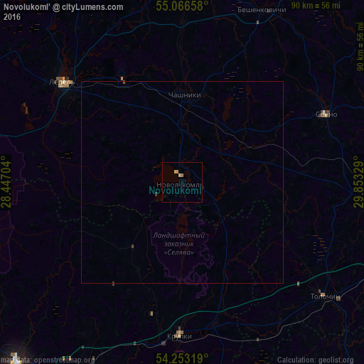
Analysis of Novolukoml’ night lights 2016
Square area 10x10 km:
 0%
0%90-99
0.13%80-89
0.88%70-79
0.5%60-69
0.5%50-59
0%40-49
0%30-39
0%20-29
0%10-19
0%0-9
97.99%Square area 50x50 km:
0%90-99
0.01%80-89
0.04%70-79
0.02%60-69
0.02%50-59
0.01%40-49
0.01%30-39
0.04%20-29
0%10-19
0%0-9
99.87%Clear (daylight) street map image can be seen on geolist.org.
Map coordinates:
55° 3' 59.7" North, 28° 26' 49.3" East
54° 39' 42.9" North, 29° 9' 0.6" East
54° 15' 11.5" North, 29° 51' 11.8" East
Some cities around Novolukoml’ sort by population:
• Barysaw
63.8 km =39.6 mi,  220°
220°
• Lyepyel’
37.9 km =23.5 mi,  310°
310°
• Chashniki
21.9 km =13.6 mi,  1°
1°
• Talachyn
45.1 km =28 mi,  128°
128°
• Syanno
39.5 km =24.5 mi,  65°
65°
• Krupki
38.3 km =23.8 mi,  181°
181°
• Kruhlaye
62 km =38.5 mi,  137°
137°
• Loshnitsa
49.3 km =30.6 mi,  210°
210°
624494 (p: 13,800)
Sources (retrieved 2019-11-25):
» Earth at Night: Flat Maps 2012, 2016