Barysaw night lights from space
Night Light of Barysaw (Minsk) from space (Belarus) Src. Average luminocity for 10x10km area is 49.3929% and for 50x50km: 3.538%.
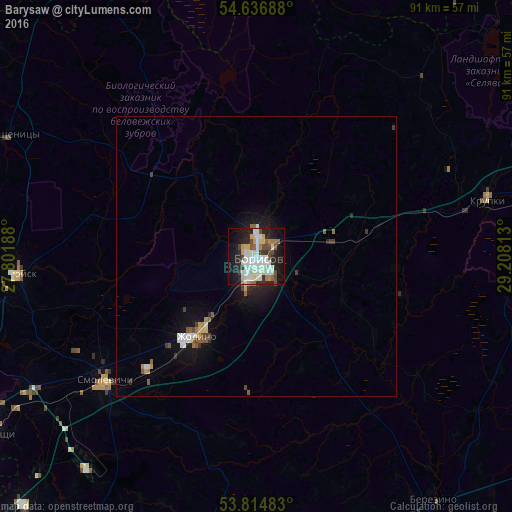
Analysis of Barysaw night lights 2016
Square area 10x10 km:
 10.05%
90-99
16.4%80-89
7.41%70-79
3.31%60-69
3.57%50-59
2.51%40-49
7.14%30-39
2.65%20-29
12.17%10-19
26.19%0-9
8.6%Square area 50x50 km:
0.53%90-99
0.82%80-89
0.37%70-79
0.29%60-69
0.29%50-59
0.4%40-49
0.41%30-39
0.39%20-29
0.76%10-19
2.81%0-9
92.92%Clear (daylight) street map image can be seen on geolist.org.
Map coordinates:
54° 38' 12.8" North, 27° 48' 6.8" East
54° 13' 40.4" North, 28° 30' 18" East
53° 48' 53.4" North, 29° 12' 29.3" East
Some cities around Barysaw sort by population:
• Horad Zhodzina
18.2 km =11.3 mi,  217°
217°
• Kalodzishchy
56.7 km =35.2 mi,  236°
236°
• Byerazino
53.5 km =33.2 mi,  143°
143°
• Horad Smalyavichy
35.3 km =21.9 mi,  230°
230°
• Lahoysk
42.6 km =26.5 mi,  266°
266°
• Krupki
42.3 km =26.3 mi,  76°
76°
• Plyeshchanitsy
48.9 km =30.4 mi,  296°
296°
• Loshnitsa
17.8 km =11.1 mi,  71°
71°
630376 (p: 143,919)
Sources (retrieved 2019-11-25):
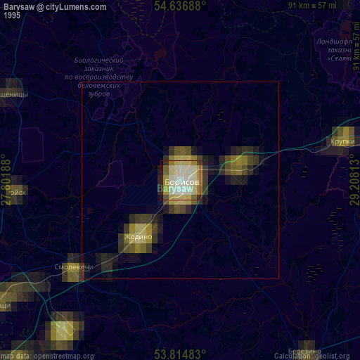
» NASA, Earths city lights 1995
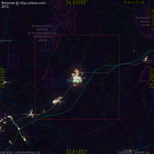
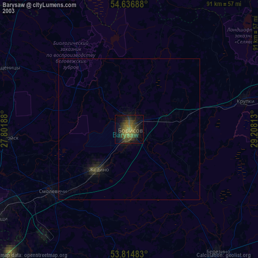
» NASA city lights 2003
» Earth at Night: Flat Maps 2012, 2016