Byerazino night lights from space
Night Light of Byerazino (Minsk) from space (Belarus) Src. Average luminocity for 10x10km area is 0.5344% and for 50x50km: 0.0206%.
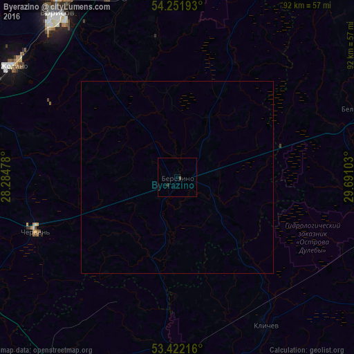
Analysis of Byerazino night lights 2016
Square area 10x10 km:
 0%
0%90-99
0%80-89
0%70-79
0%60-69
0%50-59
0%40-49
0.53%30-39
0.53%20-29
0%10-19
0%0-9
98.94%Square area 50x50 km:
0%90-99
0%80-89
0%70-79
0%60-69
0%50-59
0%40-49
0.02%30-39
0.02%20-29
0%10-19
0%0-9
99.96%Clear (daylight) street map image can be seen on geolist.org.
Map coordinates:
54° 15' 6.9" North, 28° 17' 5.2" East
53° 50' 20.8" North, 28° 59' 16.4" East
53° 25' 19.8" North, 29° 41' 27.7" East
Some cities around Byerazino sort by population:
• Barysaw
53.5 km =33.2 mi,  323°
323°
• Horad Zhodzina
51.6 km =32.1 mi,  303°
303°
• Horad Smalyavichy
62.3 km =38.7 mi,  289°
289°
• Chervyen’
39.5 km =24.5 mi,  247°
247°
• Byalynichy
50.8 km =31.6 mi,  69°
69°
• Krupki
54.1 km =33.6 mi,  10°
10°
• Klichaw
44.9 km =27.9 mi,  149°
149°
• Loshnitsa
51.1 km =31.8 mi,  343°
343°
630197 (p: 12,800)
Sources (retrieved 2019-11-25):
» Earth at Night: Flat Maps 2012, 2016