Talachyn night lights from space
Night Light of Talachyn (Vitebsk) from space (Belarus) Src. Average luminocity for 10x10km area is 1.3182% and for 50x50km: 0.075%.
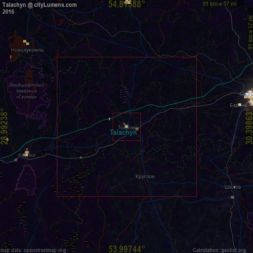
Analysis of Talachyn night lights 2016
Square area 10x10 km:
 0%
0%90-99
0%80-89
0%70-79
0.24%60-69
0.6%50-59
0.12%40-49
0.6%30-39
0.84%20-29
0%10-19
0%0-9
97.61%Square area 50x50 km:
0%90-99
0%80-89
0%70-79
0.01%60-69
0.02%50-59
0.02%40-49
0.02%30-39
0.05%20-29
0%10-19
0%0-9
99.86%Clear (daylight) street map image can be seen on geolist.org.
Map coordinates:
54° 48' 57.2" North, 28° 59' 32.6" East
54° 24' 31.3" North, 29° 41' 43.8" East
53° 59' 50.8" North, 30° 23' 55.1" East
Some cities around Talachyn sort by population:
• Orsha
47.9 km =29.8 mi,  76°
76°
• Novolukoml’
45.1 km =28 mi,  308°
308°
• Shklow
44.1 km =27.4 mi,  119°
119°
• Baran’
40.9 km =25.4 mi, 79°
• Syanno
44.7 km =27.8 mi,  1°
1°
• Byalynichy
45.5 km =28.3 mi,  178°
178°
• Krupki
37.5 km =23.3 mi,  254°
254°
• Kruhlaye
18.9 km =11.7 mi,  159°
159°
620833 (p: 11,381)
Sources (retrieved 2019-11-25):
» Earth at Night: Flat Maps 2012, 2016