Horad Zhodzina night lights from space
Night Light of Horad Zhodzina (Minsk) from space (Belarus) Src. Average luminocity for 10x10km area is 20.3611% and for 50x50km: 4.0837%.
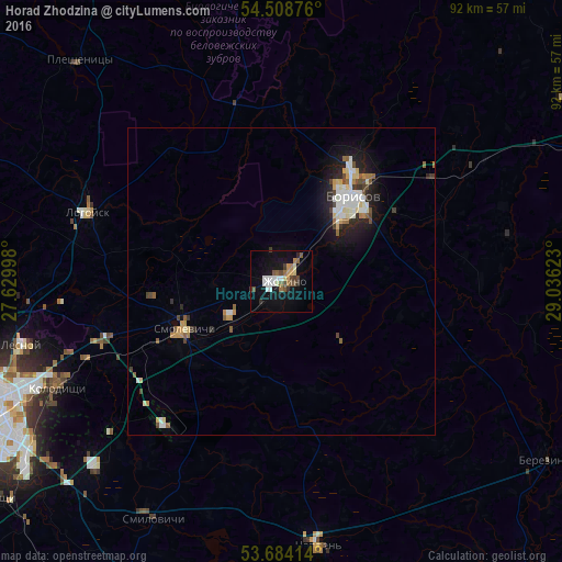
Analysis of Horad Zhodzina night lights 2016
Square area 10x10 km:
 3.16%
3.16%90-99
3.54%80-89
1.52%70-79
2.15%60-69
1.64%50-59
4.17%40-49
2.53%30-39
2.9%20-29
1.14%10-19
18.94%0-9
58.33%Square area 50x50 km:
0.57%90-99
0.88%80-89
0.44%70-79
0.49%60-69
0.3%50-59
0.53%40-49
0.52%30-39
0.39%20-29
0.79%10-19
2.81%0-9
92.28%Clear (daylight) street map image can be seen on geolist.org.
Map coordinates:
54° 30' 31.5" North, 27° 37' 47.9" East
54° 5' 54.6" North, 28° 19' 59.2" East
53° 41' 2.9" North, 29° 2' 10.4" East
Some cities around Horad Zhodzina sort by population:
• Barysaw
18.2 km =11.3 mi,  37°
37°
• Kalodzishchy
39.9 km =24.8 mi,  244°
244°
• Lyasny
42.8 km =26.6 mi,  256°
256°
• Lahoysk
33.6 km =20.9 mi,  290°
290°
• Chervyen’
44.1 km =27.4 mi,  171°
171°
• Plyeshchanitsy
48.7 km =30.3 mi,  317°
317°
• Loshnitsa
34.6 km =21.5 mi,  54°
54°
• Smilavichy
44.1 km =27.4 mi,  208°
208°
618800 (p: 61,007)
Sources (retrieved 2019-11-25):
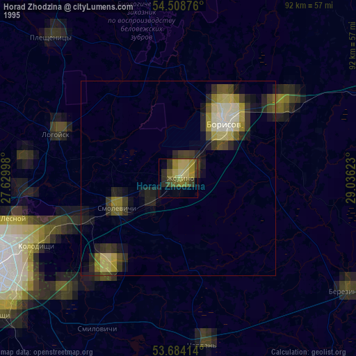
» NASA, Earths city lights 1995
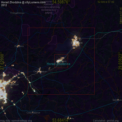
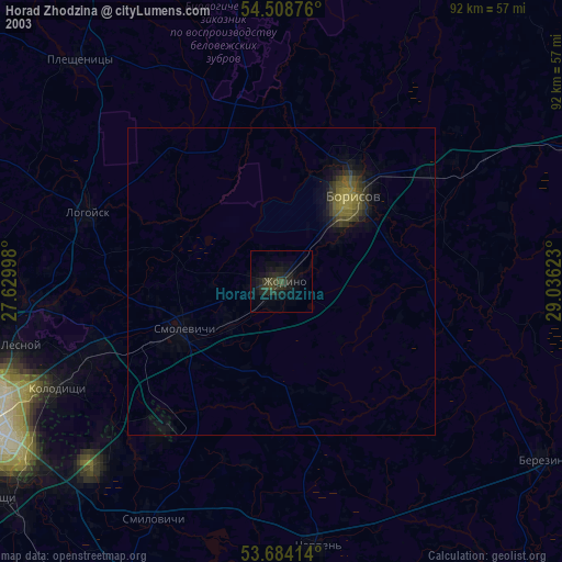
» NASA city lights 2003
» Earth at Night: Flat Maps 2012, 2016