Lyepyel’ night lights from space
Night Light of Lyepyel’ (Vitebsk) from space (Belarus) Src. Average luminocity for 10x10km area is 6.7117% and for 50x50km: 0.3203%.
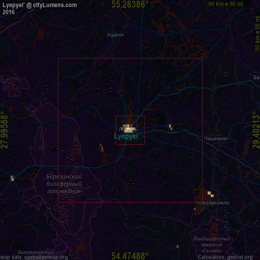
Analysis of Lyepyel’ night lights 2016
Square area 10x10 km:
 0.24%
0.24%90-99
0.24%80-89
1.56%70-79
0.84%60-69
2.15%50-59
0.96%40-49
1.56%30-39
0.96%20-29
0.48%10-19
0.12%0-9
90.91%Square area 50x50 km:
0.01%90-99
0.01%80-89
0.06%70-79
0.04%60-69
0.1%50-59
0.05%40-49
0.07%30-39
0.04%20-29
0.07%10-19
0.01%0-9
99.53%Clear (daylight) street map image can be seen on geolist.org.
Map coordinates:
55° 17' 1.9" North, 27° 59' 45.2" East
54° 52' 53" North, 28° 41' 56.4" East
54° 28' 29.6" North, 29° 24' 7.7" East
Some cities around Lyepyel’ sort by population:
• Polatsk
67.7 km =42.1 mi,  4°
4°
• Novolukoml’
37.9 km =23.5 mi,  130°
130°
• Chashniki
29.7 km =18.5 mi,  94°
94°
• Syanno
65.1 km =40.5 mi,  96°
96°
• Krupki
68.7 km =42.7 mi,  155°
155°
• Dokshytsy
59.6 km =37 mi,  271°
271°
• Loshnitsa
67 km =41.6 mi,  176°
176°
• Ushachy
33.5 km =20.8 mi,  350°
350°
625743 (p: 17,400)
Sources (retrieved 2019-11-25):
» Earth at Night: Flat Maps 2012, 2016