Rakops night lights from space
Night Light of Rakops (Central) from space (Botswana) Src. Average luminocity for 10x10km area is 0% and for 50x50km: 0%.
Analysis of Rakops night lights 2016
Square area 10x10 km:
 0%
0%90-99
0%80-89
0%70-79
0%60-69
0%50-59
0%40-49
0%30-39
0%20-29
0%10-19
0%0-9
100%Square area 50x50 km:
0%90-99
0%80-89
0%70-79
0%60-69
0%50-59
0%40-49
0%30-39
0%20-29
0%10-19
0%0-9
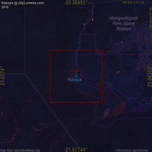
100%Clear (daylight) street map image can be seen on geolist.org.
Map coordinates:
20° 21' 53.3" South, 23° 39' 26.6" East
21° 1' 21.3" South, 24° 21' 37.9" East
21° 40' 38.8" South, 25° 3' 49.1" East
Some cities around Rakops sort by population:
• Francistown
326.9 km =203.1 mi,  92°
92°
• Maun
151.7 km =94.3 mi,  319°
319°
• Serowe
286.3 km =177.9 mi,  122°
122°
• Palapye
331.9 km =206.2 mi, 120°
• Letlhakane
135 km =83.9 mi,  108°
108°
• Tonota
324.8 km =201.8 mi,  98°
98°
• Ghanzi
291 km =180.8 mi,  255°
255°
• Orapa
110.1 km =68.4 mi, 106°
933151 (p: 5,222)
Sources (retrieved 2019-11-25):
» Earth at Night: Flat Maps 2012, 2016