Maun night lights from space
Night Light of Maun (North-West) from space (Botswana) Src. Average luminocity for 10x10km area is 39.1349% and for 50x50km: 2.3119%.
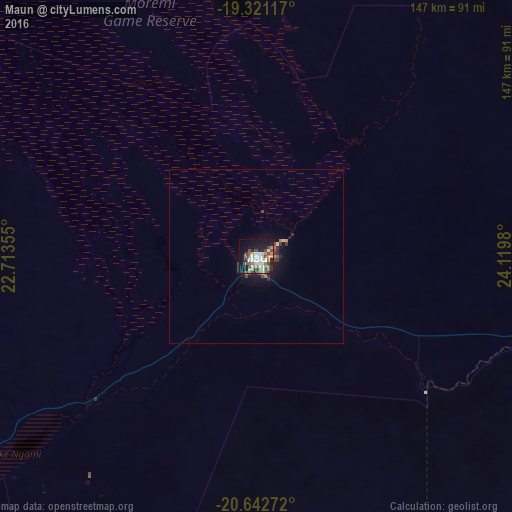
Analysis of Maun night lights 2016
Square area 10x10 km:
 4.56%
4.56%90-99
9.33%80-89
3.17%70-79
5.16%60-69
4.76%50-59
7.94%40-49
9.52%30-39
1.98%20-29
9.13%10-19
28.77%0-9
15.67%Square area 50x50 km:
0.19%90-99
0.4%80-89
0.19%70-79
0.22%60-69
0.31%50-59
0.35%40-49
0.55%30-39
0.24%20-29
0.61%10-19
2.09%0-9
94.84%Clear (daylight) street map image can be seen on geolist.org.
Map coordinates:
19° 19' 16.2" South, 22° 42' 48.8" East
19° 58' 60" South, 23° 25' 0" East
20° 38' 33.8" South, 24° 7' 11.3" East
Some cities around Maun sort by population:
• Katima Mulilo, NA
290.3 km =180.4 mi,  17°
17°
• Sesheke, ZM
293.8 km =182.6 mi, 18°
• Letlhakane
276.7 km =171.9 mi,  125°
125°
• Ghanzi
265 km =164.7 mi,  223°
223°
• Kasane
304.1 km =189 mi,  37°
37°
• Orapa
251.8 km =156.5 mi, 125°
• Shakawe
244.3 km =151.8 mi,  317°
317°
• Rakops
151.7 km =94.3 mi,  139°
139°
933366 (p: 49,945)
Sources (retrieved 2019-11-25):
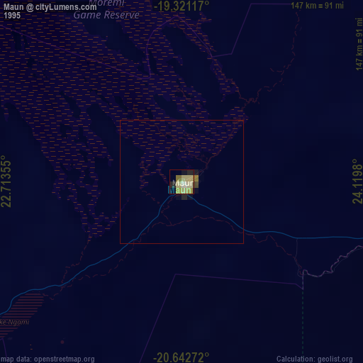
» NASA, Earths city lights 1995
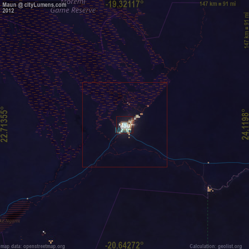
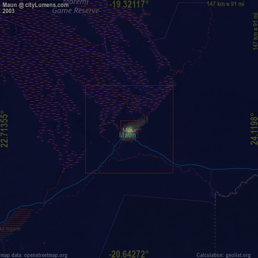
» NASA city lights 2003
» Earth at Night: Flat Maps 2012, 2016