Spanish Wells night lights from space
Night Light of Spanish Wells from space (Bahamas) Src. Average luminocity for 10x10km area is 2.3352% and for 50x50km: 0.2651%.
Analysis of Spanish Wells night lights 2016
Square area 10x10 km:
 0%
0%90-99
0%80-89
0%70-79
0%60-69
0.76%50-59
1.14%40-49
1.89%30-39
0%20-29
0.76%10-19
0%0-9
95.45%Square area 50x50 km:
0%90-99
0%80-89
0%70-79
0%60-69
0.05%50-59
0.2%40-49
0.12%30-39
0.03%20-29
0.12%10-19
0.04%0-9
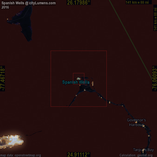
99.44%Clear (daylight) street map image can be seen on geolist.org.
Map coordinates:
26° 10' 47.5" North, 77° 28' 1.8" West
25° 32' 49.8" North, 76° 45' 50.6" West
24° 54' 40" North, 76° 3' 39.3" West
Some cities around Spanish Wells sort by population:
• Nassau
79.6 km =49.5 mi,  226°
226°
• Cooper’s Town
165 km =102.5 mi,  333°
333°
• San Andros
139.9 km =86.9 mi,  247°
247°
• Marsh Harbour
114.5 km =71.1 mi,  344°
344°
• Arthur’s Town
150.6 km =93.6 mi,  133°
133°
• Black Point
165.4 km =102.8 mi,  166°
166°
• Hard Bargain
117.3 km =72.9 mi,  316°
316°
• Governor’s Harbour
68.1 km =42.3 mi, 128°
3571375 (p: 1,500)
Sources (retrieved 2019-11-25):
» Earth at Night: Flat Maps 2012, 2016