Governor’s Harbour night lights from space
Night Light of Governor’s Harbour (Central Eleuthera) from space (Bahamas) Src. Average luminocity for 10x10km area is 1.9325% and for 50x50km: 0.2775%.
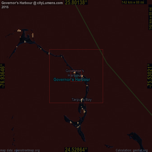
Analysis of Governor’s Harbour night lights 2016
Square area 10x10 km:
 0%
0%90-99
0%80-89
0%70-79
0.6%60-69
0.99%50-59
0.79%40-49
0.79%30-39
0%20-29
0%10-19
0%0-9
96.83%Square area 50x50 km:
0%90-99
0%80-89
0%70-79
0.05%60-69
0.09%50-59
0.15%40-49
0.13%30-39
0.02%20-29
0.06%10-19
0.03%0-9
99.47%Clear (daylight) street map image can be seen on geolist.org.
Map coordinates:
25° 48' 5" North, 76° 56' 11.3" West
25° 10' 0" North, 76° 13' 60" West
24° 31' 43.1" North, 75° 31' 48.8" West
Some cities around Governor’s Harbour sort by population:
• Nassau
112.4 km =69.8 mi,  263°
263°
• San Andros
183.2 km =113.8 mi,  266°
266°
• George Town
189 km =117.4 mi,  166°
166°
• Marsh Harbour
174 km =108.1 mi,  331°
331°
• Spanish Wells
68.1 km =42.3 mi,  308°
308°
• Arthur’s Town
82.9 km =51.5 mi,  136°
136°
• Hard Bargain
184.9 km =114.9 mi, 313°
• Black Point
119.6 km =74.3 mi,  187°
187°
3572313 (p: 0)
Sources (retrieved 2019-11-25):
» Earth at Night: Flat Maps 2012, 2016