Nassau night lights from space
Night Light of Nassau (New Providence) from space (Bahamas) Src. Average luminocity for 10x10km area is 76.6723% and for 50x50km: 7.794%.
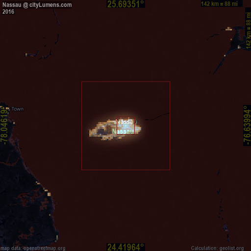
Analysis of Nassau night lights 2016
Square area 10x10 km:
 24.05%
90-99
24.43%80-89
11.36%70-79
6.06%60-69
7.01%50-59
10.04%40-49
1.7%30-39
3.03%20-29
10.42%10-19
1.89%0-9
0%Square area 50x50 km:
1.11%90-99
1.13%80-89
0.71%70-79
0.55%60-69
1.91%50-59
1.74%40-49
1.07%30-39
0.66%20-29
2.36%10-19
4.85%0-9
83.9%Clear (daylight) street map image can be seen on geolist.org.
Map coordinates:
25° 41' 36.6" North, 78° 2' 46.3" West
25° 3' 29.6" North, 77° 20' 35" West
24° 25' 10.7" North, 76° 38' 23.8" West
Some cities around Nassau sort by population:
• San Andros
71.2 km =44.2 mi,  270°
270°
• Marsh Harbour
167.3 km =104 mi,  9°
9°
• High Rock
196.3 km =122 mi,  331°
331°
• Spanish Wells
79.6 km =49.5 mi,  46°
46°
• Arthur’s Town
175.5 km =109.1 mi,  106°
106°
• Black Point
144.1 km =89.5 mi,  137°
137°
• Hard Bargain
141.7 km =88 mi,  350°
350°
• Governor’s Harbour
112.4 km =69.8 mi,  83°
83°
3571824 (p: 227,940)
Sources (retrieved 2019-11-25):
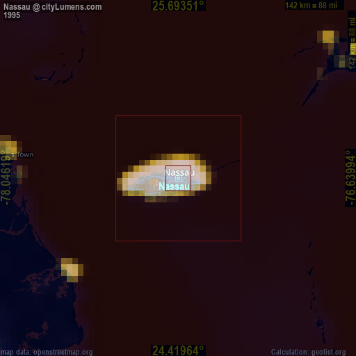
» NASA, Earths city lights 1995
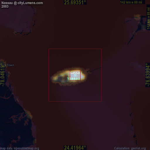
» NASA city lights 2003
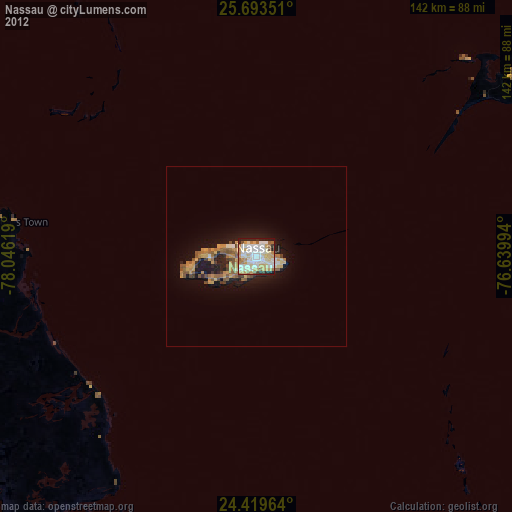
» Earth at Night: Flat Maps 2012, 2016