Cooper’s Town night lights from space
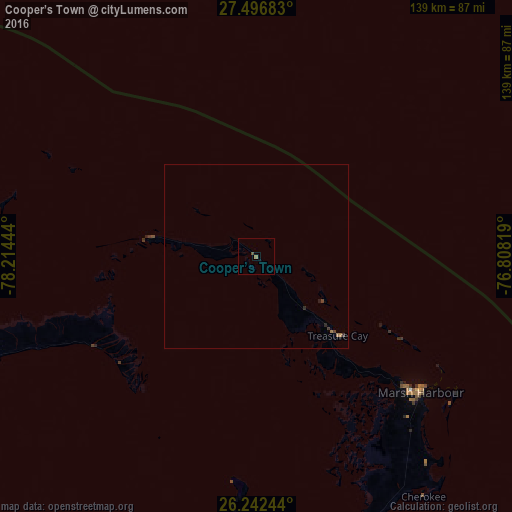
Night Light of Cooper’s Town (North Abaco) from space (Bahamas) Src. Average luminocity for 10x10km area is 1.0159% and for 50x50km: 0.1822%.
Analysis of Cooper’s Town night lights 2016
Square area 10x10 km:
 0%
0%90-99
0%80-89
0%70-79
0%60-69
0.79%50-59
0%40-49
0.79%30-39
0%20-29
0%10-19
0%0-9
98.41%Square area 50x50 km:
0%90-99
0%80-89
0%70-79
0%60-69
0.11%50-59
0.01%40-49
0.07%30-39
0.08%20-29
0.08%10-19
0.05%0-9
99.6%Clear (daylight) street map image can be seen on geolist.org.
Map coordinates:
27° 29' 48.6" North, 78° 12' 52" West
26° 52' 16.9" North, 77° 30' 40.7" West
26° 14' 32.8" North, 76° 48' 29.5" West
Some cities around Cooper’s Town sort by population:
• Nassau
202.3 km =125.7 mi,  175°
175°
• Lucaya
120.8 km =75.1 mi,  251°
251°
• Freeport
123.9 km =77 mi, 252°
• West End
146.9 km =91.3 mi,  261°
261°
• Marsh Harbour
57.7 km =35.9 mi,  129°
129°
• High Rock
81.5 km =50.6 mi, 249°
• Spanish Wells
165 km =102.5 mi,  153°
153°
• Hard Bargain
61.9 km =38.5 mi,  185°
185°
3572601 (p: 8,413)
Sources (retrieved 2019-11-25):
» Earth at Night: Flat Maps 2012, 2016