Arthur’s Town night lights from space
Night Light of Arthur’s Town (Cat Island) from space (Bahamas) Src. Average luminocity for 10x10km area is 0.0437% and for 50x50km: 0.0139%.
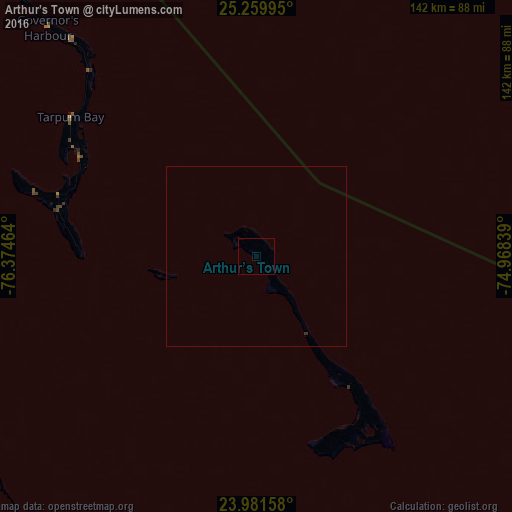
Analysis of Arthur’s Town night lights 2016
Square area 10x10 km:
 0%
0%90-99
0%80-89
0%70-79
0%60-69
0%50-59
0%40-49
0%30-39
0%20-29
0%10-19
0%0-9
100%Square area 50x50 km:
0%90-99
0%80-89
0%70-79
0%60-69
0%50-59
0%40-49
0%30-39
0.03%20-29
0%10-19
0%0-9
99.97%Clear (daylight) street map image can be seen on geolist.org.
Map coordinates:
25° 15' 35.8" North, 76° 22' 28.7" West
24° 37' 20.6" North, 75° 40' 17.4" West
23° 58' 53.7" North, 74° 58' 6.2" West
Some cities around Arthur’s Town sort by population:
• Nassau
175.5 km =109.1 mi,  286°
286°
• George Town
123.6 km =76.8 mi,  185°
185°
• Clarence Town
183.2 km =113.8 mi,  157°
157°
• Spanish Wells
150.6 km =93.6 mi,  313°
313°
• Cockburn Town
131.8 km =81.9 mi,  118°
118°
• Port Nelson
137.1 km =85.2 mi,  142°
142°
• Black Point
92.6 km =57.5 mi,  231°
231°
• Governor’s Harbour
82.9 km =51.5 mi,  316°
316°
3572897 (p: 1,175)
Sources (retrieved 2019-11-25):
» Earth at Night: Flat Maps 2012, 2016