Hard Bargain night lights from space
Night Light of Hard Bargain (Moore’s Island) from space (Bahamas) Src. Average luminocity for 10x10km area is 0.373% and for 50x50km: 0.0144%.
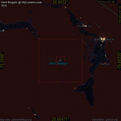
Analysis of Hard Bargain night lights 2016
Square area 10x10 km:
 0%
0%90-99
0%80-89
0%70-79
0%60-69
0%50-59
0%40-49
0.79%30-39
0%20-29
0%10-19
0%0-9
99.21%Square area 50x50 km:
0%90-99
0%80-89
0%70-79
0%60-69
0%50-59
0%40-49
0.03%30-39
0%20-29
0%10-19
0%0-9
99.97%Clear (daylight) street map image can be seen on geolist.org.
Map coordinates:
26° 56' 42.7" North, 78° 16' 11.3" West
26° 19' 0" North, 77° 34' 0" West
25° 41' 5" North, 76° 51' 48.8" West
Some cities around Hard Bargain sort by population:
• Nassau
141.7 km =88 mi,  170°
170°
• Lucaya
112.1 km =69.7 mi,  282°
282°
• Freeport
115.4 km =71.7 mi, 282°
• West End
146.3 km =90.9 mi,  286°
286°
• Cooper’s Town
61.9 km =38.5 mi,  5°
5°
• Marsh Harbour
56 km =34.8 mi,  63°
63°
• High Rock
78 km =48.5 mi, 294°
• Spanish Wells
117.3 km =72.9 mi,  136°
136°
3572233 (p: 0)
Sources (retrieved 2019-11-25):
» Earth at Night: Flat Maps 2012, 2016