San Andros night lights from space
Night Light of San Andros (North Andros) from space (Bahamas) Src. Average luminocity for 10x10km area is 0.0095% and for 50x50km: 0.1397%.
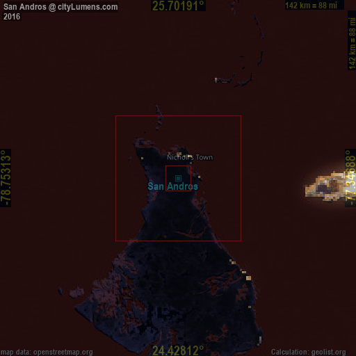
Analysis of San Andros night lights 2016
Square area 10x10 km:
 0%
0%90-99
0%80-89
0%70-79
0%60-69
0%50-59
0%40-49
0%30-39
0%20-29
0%10-19
0%0-9
100%Square area 50x50 km:
0%90-99
0%80-89
0%70-79
0%60-69
0.03%50-59
0.03%40-49
0.09%30-39
0.05%20-29
0.11%10-19
0%0-9
99.69%Clear (daylight) street map image can be seen on geolist.org.
Map coordinates:
25° 42' 6.9" North, 78° 45' 11.3" West
25° 4' 0" North, 78° 3' 0" West
24° 25' 41.2" North, 77° 20' 48.8" West
Some cities around San Andros sort by population:
• Nassau
71.2 km =44.2 mi,  90°
90°
• Lucaya
174.4 km =108.4 mi,  339°
339°
• Freeport
175.6 km =109.1 mi, 338°
• High Rock
173.1 km =107.6 mi,  352°
352°
• Spanish Wells
139.9 km =86.9 mi,  67°
67°
• Alice Town
145.3 km =90.3 mi,  300°
300°
• Governor’s Harbour
183.2 km =113.8 mi, 86°
• Hard Bargain
147.2 km =91.5 mi,  19°
19°
3571523 (p: 7,800)
Sources (retrieved 2019-11-25):
» Earth at Night: Flat Maps 2012, 2016