Marsh Harbour night lights from space
Night Light of Marsh Harbour (Central Abaco) from space (Bahamas) Src. Average luminocity for 10x10km area is 14.1894% and for 50x50km: 0.871%.
Analysis of Marsh Harbour night lights 2016
Square area 10x10 km:
 0.19%
0.19%90-99
0.57%80-89
0.38%70-79
1.7%60-69
6.06%50-59
3.98%40-49
3.03%30-39
3.22%20-29
1.33%10-19
1.7%0-9
77.84%Square area 50x50 km:
0.01%90-99
0.02%80-89
0.02%70-79
0.07%60-69
0.39%50-59
0.2%40-49
0.16%30-39
0.29%20-29
0.16%10-19
0.16%0-9
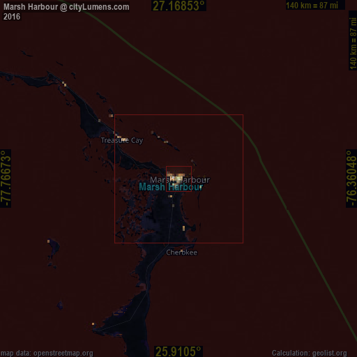
98.51%Clear (daylight) street map image can be seen on geolist.org.
Map coordinates:
27° 10' 6.7" North, 77° 46' 0.2" West
26° 32' 28.5" North, 77° 3' 49" West
25° 54' 37.8" North, 76° 21' 37.7" West
Some cities around Marsh Harbour sort by population:
• Nassau
167.3 km =104 mi,  189°
189°
• Lucaya
159.5 km =99.1 mi,  269°
269°
• Freeport
162.8 km =101.2 mi, 269°
• Cooper’s Town
57.7 km =35.9 mi,  309°
309°
• High Rock
121.1 km =75.2 mi, 273°
• Spanish Wells
114.5 km =71.1 mi,  164°
164°
• Governor’s Harbour
174 km =108.1 mi,  151°
151°
• Hard Bargain
56 km =34.8 mi,  243°
243°
3571913 (p: 5,314)
Sources (retrieved 2019-11-25):
» Earth at Night: Flat Maps 2012, 2016