Lucaya night lights from space
Night Light of Lucaya (Freeport) from space (Bahamas) Src. Average luminocity for 10x10km area is 40.7595% and for 50x50km: 4.0057%.
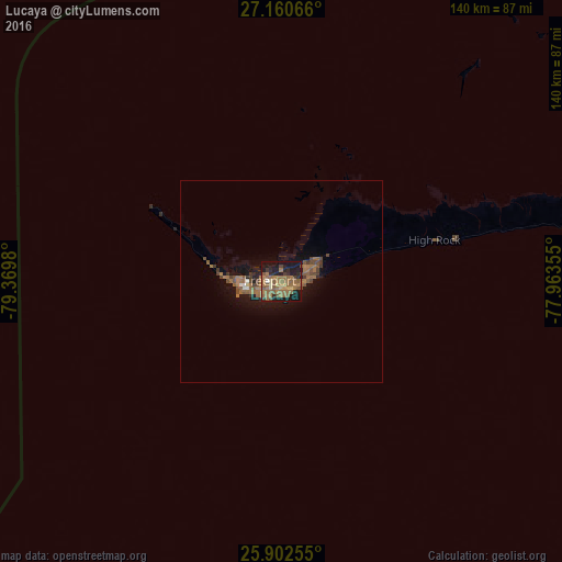
Analysis of Lucaya night lights 2016
Square area 10x10 km:
 0.38%
0.38%90-99
0.57%80-89
4.55%70-79
2.08%60-69
21.59%50-59
19.32%40-49
3.98%30-39
4.17%20-29
10.98%10-19
29.92%0-9
2.46%Square area 50x50 km:
0.09%90-99
0.1%80-89
0.22%70-79
0.08%60-69
1.78%50-59
1.47%40-49
0.85%30-39
0.56%20-29
0.66%10-19
3.75%0-9
90.45%Clear (daylight) street map image can be seen on geolist.org.
Map coordinates:
27° 9' 38.4" North, 79° 22' 11.3" West
26° 31' 60" North, 78° 40' 0" West
25° 54' 9.2" North, 77° 57' 48.8" West
Some cities around Lucaya sort by population:
• Freeport
3.3 km =2.1 mi,  270°
270°
• West End
35.3 km =21.9 mi,  298°
298°
• Lantana, US
137.9 km =85.7 mi, 272°
• Palm Beach, US
137.5 km =85.4 mi,  278°
278°
• Cooper’s Town
120.8 km =75.1 mi,  71°
71°
• High Rock
39.5 km =24.5 mi,  77°
77°
• Alice Town
109.5 km =68 mi,  215°
215°
• Hard Bargain
112.1 km =69.7 mi,  102°
102°
3571971 (p: 46,525)
Sources (retrieved 2019-11-25):
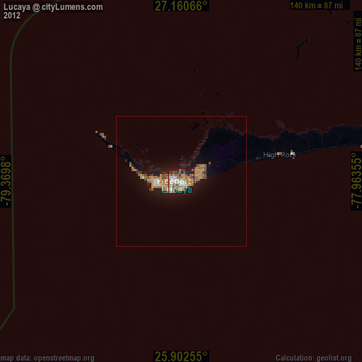
» Earth at Night: Flat Maps 2012, 2016