West End night lights from space
Night Light of West End (West Grand Bahama) from space (Bahamas) Src. Average luminocity for 10x10km area is 0.6875% and for 50x50km: 1.2603%.
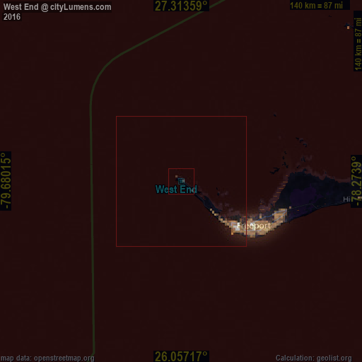
Analysis of West End night lights 2016
Square area 10x10 km:
 0%
0%90-99
0%80-89
0%70-79
0%60-69
0%50-59
0%40-49
0%30-39
0%20-29
2.27%10-19
0%0-9
97.73%Square area 50x50 km:
0.08%90-99
0.08%80-89
0.03%70-79
0%60-69
0.43%50-59
0.39%40-49
0.28%30-39
0.22%20-29
0.22%10-19
1.35%0-9
96.91%Clear (daylight) street map image can be seen on geolist.org.
Map coordinates:
27° 18' 48.9" North, 79° 40' 48.5" West
26° 41' 13.6" North, 78° 58' 37.3" West
26° 3' 25.8" North, 78° 16' 26" West
Some cities around West End sort by population:
• Lucaya
35.3 km =21.9 mi,  118°
118°
• Lake Worth, US
109.1 km =67.8 mi,  265°
265°
• Riviera Beach, US
107.8 km =67 mi,  275°
275°
• Freeport
32.4 km =20.1 mi, 121°
• Lantana, US
107.4 km =66.7 mi,  264°
264°
• Palm Beach, US
105.3 km =65.4 mi, 271°
• Lake Park, US
108.9 km =67.7 mi, 276°
• High Rock
69.9 km =43.4 mi,  97°
97°
3571224 (p: 12,724)
Sources (retrieved 2019-11-25):
» Earth at Night: Flat Maps 2012, 2016