George Town night lights from space
Night Light of George Town (Exuma) from space (Bahamas) Src. Average luminocity for 10x10km area is 4.2639% and for 50x50km: 0.3226%.
Analysis of George Town night lights 2016
Square area 10x10 km:
 0%
0%90-99
0%80-89
0%70-79
0.79%60-69
1.19%50-59
1.19%40-49
1.59%30-39
0.79%20-29
2.18%10-19
1.39%0-9
90.87%Square area 50x50 km:
0%90-99
0%80-89
0%70-79
0.06%60-69
0.05%50-59
0.1%40-49
0.14%30-39
0.1%20-29
0.11%10-19
0.15%0-9
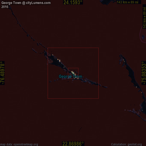
99.3%Clear (daylight) street map image can be seen on geolist.org.
Map coordinates:
24° 9' 33.5" North, 76° 29' 23.2" West
23° 30' 58.2" North, 75° 47' 11.9" West
22° 52' 11.5" North, 75° 5' 0.7" West
Some cities around George Town sort by population:
• Clarence Town
94.2 km =58.5 mi,  119°
119°
• Arthur’s Town
123.6 km =76.8 mi,  5°
5°
• Cockburn Town
140.9 km =87.6 mi,  64°
64°
• Colonel Hill
182.6 km =113.5 mi, 117°
• Port Nelson
97.4 km =60.5 mi,  81°
81°
• Duncan Town
147.5 km =91.7 mi,  177°
177°
• Governor’s Harbour
189 km =117.4 mi,  346°
346°
• Black Point
88.9 km =55.2 mi,  316°
316°
3572349 (p: 7,314)
Sources (retrieved 2019-11-25):
» Earth at Night: Flat Maps 2012, 2016