Vinhedo night lights from space
Night Light of Vinhedo (São Paulo) from space (Brazil) Src. Average luminocity for 10x10km area is 72.3849% and for 50x50km: 54.6853%.
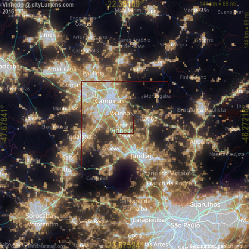
Analysis of Vinhedo night lights 2016
Square area 10x10 km:
 13.29%
90-99
12.3%80-89
8.33%70-79
19.64%60-69
21.03%50-59
13.1%40-49
5.75%30-39
5.56%20-29
0.99%10-19
0%0-9
0%Square area 50x50 km:
9.29%90-99
9.81%80-89
8.53%70-79
12%60-69
10.25%50-59
8.16%40-49
6.4%30-39
6.09%20-29
8.77%10-19
9.56%0-9
11.16%Clear (daylight) street map image can be seen on geolist.org.
Map coordinates:
22° 22' 51.9" South, 47° 40' 42.3" West
23° 1' 47" South, 46° 58' 31" West
23° 40' 30.9" South, 46° 16' 19.8" West
Some cities around Vinhedo sort by population:
• Campinas
16.3 km =10.1 mi,  327°
327°
• Jundiaí
19.8 km =12.3 mi,  151°
151°
• Indaiatuba
25.1 km =15.6 mi,  254°
254°
• Várzea Paulista
25.2 km =15.7 mi,  143°
143°
• Valinhos
6.9 km =4.3 mi,  342°
342°
• Itatiba
14.2 km =8.8 mi,  79°
79°
• Louveira
6.8 km =4.2 mi,  158°
158°
• Itupeva
16.1 km =10 mi,  211°
211°
3445014 (p: 56,492)
Sources (retrieved 2019-11-25):
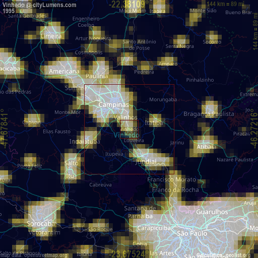
» NASA, Earths city lights 1995
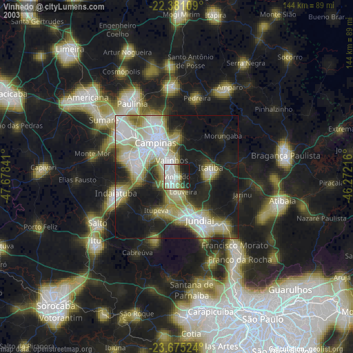
» NASA city lights 2003
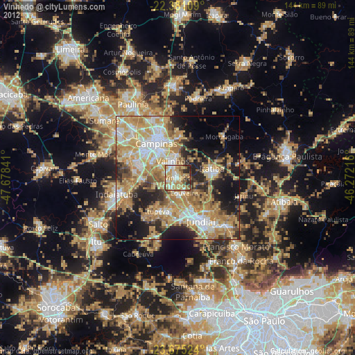
» Earth at Night: Flat Maps 2012, 2016