Campinas night lights from space
Night Light of Campinas (São Paulo) from space (Brazil) Src. Average luminocity for 10x10km area is 95.4901% and for 50x50km: 58.2554%.
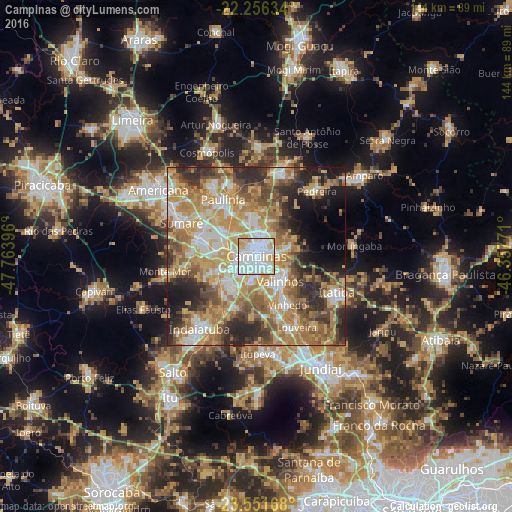
Analysis of Campinas night lights 2016
Square area 10x10 km:
 50.99%
90-99
28.57%80-89
13.1%70-79
6.75%60-69
0.6%50-59
0%40-49
0%30-39
0%20-29
0%10-19
0%0-9
0%Square area 50x50 km:
9.58%90-99
10.05%80-89
9.65%70-79
13.8%60-69
11.22%50-59
7.52%40-49
7.39%30-39
6.57%20-29
9.98%10-19
7.43%0-9
6.8%Clear (daylight) street map image can be seen on geolist.org.
Map coordinates:
22° 15' 22.8" South, 47° 45' 50.3" West
22° 54' 20" South, 47° 3' 39" West
23° 33' 6" South, 46° 21' 27.8" West
Some cities around Campinas sort by population:
• Sumaré
23.1 km =14.4 mi,  293°
293°
• Hortolândia
17.1 km =10.6 mi, 287°
• Valinhos
9.8 km =6.1 mi,  137°
137°
• Paulínia
18.7 km =11.6 mi,  329°
329°
• Vinhedo
16.3 km =10.1 mi,  147°
147°
• Pedreira
24.5 km =15.2 mi,  41°
41°
• Jaguariúna
23.5 km =14.6 mi,  19°
19°
• Louveira
23.1 km =14.4 mi, 150°
3467865 (p: 1,031,554)
Sources (retrieved 2019-11-25):
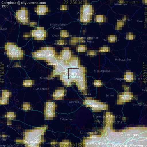
» NASA, Earths city lights 1995
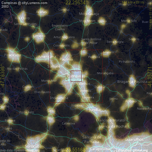
» NASA city lights 2003
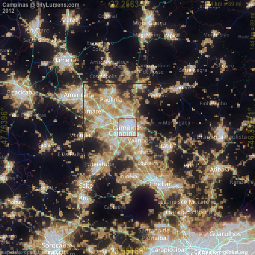
» Earth at Night: Flat Maps 2012, 2016