Itupeva night lights from space
Night Light of Itupeva (São Paulo) from space (Brazil) Src. Average luminocity for 10x10km area is 59.7765% and for 50x50km: 49.7015%.
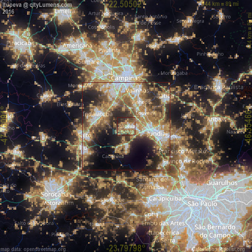
Analysis of Itupeva night lights 2016
Square area 10x10 km:
 4.36%
4.36%90-99
7.39%80-89
8.9%70-79
14.39%60-69
17.99%50-59
15.91%40-49
8.9%30-39
9.09%20-29
12.5%10-19
0.57%0-9
0%Square area 50x50 km:
7.06%90-99
7.96%80-89
6.51%70-79
10.29%60-69
10.7%50-59
8.16%40-49
7.67%30-39
7.45%20-29
10.28%10-19
10.52%0-9
13.39%Clear (daylight) street map image can be seen on geolist.org.
Map coordinates:
22° 30' 18.1" South, 47° 45' 39.3" West
23° 9' 11" South, 47° 3' 28" West
23° 47' 52.7" South, 46° 21' 16.8" West
Some cities around Itupeva sort by population:
• Jundiaí
18.1 km =11.2 mi,  101°
101°
• Indaiatuba
17.3 km =10.7 mi,  294°
294°
• Várzea Paulista
24.3 km =15.1 mi,  105°
105°
• Salto
24 km =14.9 mi,  257°
257°
• Valinhos
21.3 km =13.2 mi,  17°
17°
• Vinhedo
16.1 km =10 mi,  31°
31°
• Cabreúva
18.8 km =11.7 mi,  204°
204°
• Louveira
13.2 km =8.2 mi,  55°
55°
3460516 (p: 20,605)
Sources (retrieved 2019-11-25):
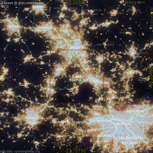
» Earth at Night: Flat Maps 2012, 2016