Vilhena night lights from space
Night Light of Vilhena (Rondônia) from space (Brazil) Src. Average luminocity for 10x10km area is 52.5736% and for 50x50km: 3.3133%.
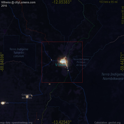


Analysis of Vilhena night lights 2016
Square area 10x10 km:
 13.64%
90-99
12.34%80-89
8.23%70-79
7.79%60-69
1.08%50-59
4.33%40-49
3.46%30-39
8.01%20-29
14.94%10-19
21.65%0-9
4.55%Square area 50x50 km:
0.54%90-99
0.5%80-89
0.56%70-79
0.4%60-69
0.16%50-59
0.27%40-49
0.42%30-39
0.54%20-29
0.85%10-19
2.97%0-9
92.8%Clear (daylight) street map image can be seen on geolist.org.
Map coordinates:
12° 3' 13.8" South, 60° 50' 56.3" West
12° 44' 26" South, 60° 8' 45" West
13° 25' 31.5" South, 59° 26' 33.8" West
Some cities around Vilhena sort by population:
• Ji Paraná
284.9 km =177 mi,  316°
316°
• Cacoal
202.4 km =125.8 mi, 315°
• Pôsto Fiscal Rolim de Moura
234.1 km =145.5 mi,  260°
260°
• Pontes e Lacerda
289.9 km =180.1 mi,  162°
162°
• Jaru
359.7 km =223.5 mi, 315°
• Ouro Preto do Oeste
316 km =196.4 mi,  314°
314°
• Pimenta Bueno
164.5 km =102.2 mi, 316°
• Presidente Médici
258.4 km =160.6 mi, 312°
3924679 (p: 63,231)
Sources (retrieved 2019-11-25):
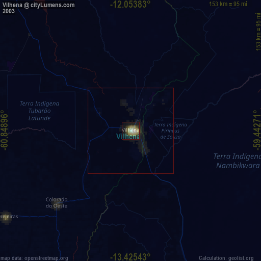
» NASA, Earths city lights 1995
» NASA city lights 2003
» Earth at Night: Flat Maps 2012, 2016