Pontes e Lacerda night lights from space
Night Light of Pontes e Lacerda (Mato Grosso) from space (Brazil) Src. Average luminocity for 10x10km area is 21.7934% and for 50x50km: 1.078%.
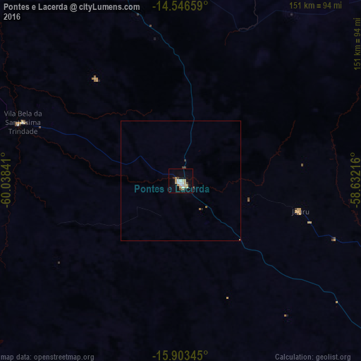
Analysis of Pontes e Lacerda night lights 2016
Square area 10x10 km:
 2.69%
2.69%90-99
3.93%80-89
6.2%70-79
3.1%60-69
0.62%50-59
1.03%40-49
1.86%30-39
1.03%20-29
1.24%10-19
14.46%0-9
63.84%Square area 50x50 km:
0.11%90-99
0.16%80-89
0.26%70-79
0.12%60-69
0.07%50-59
0.07%40-49
0.17%30-39
0.08%20-29
0.07%10-19
0.6%0-9
98.31%Clear (daylight) street map image can be seen on geolist.org.
Map coordinates:
14° 32' 47.7" South, 60° 2' 18.3" West
15° 13' 34" South, 59° 20' 7" West
15° 54' 12.4" South, 58° 37' 55.8" West
Some cities around Pontes e Lacerda sort by population:
• Vilhena
289.9 km =180.1 mi,  342°
342°
• Barra do Bugres
231.8 km =144 mi,  85°
85°
• San Ignacio de Velasco, BO
214.3 km =133.2 mi,  233°
233°
• Nova Olímpia
225 km =139.8 mi,  77°
77°
• Nortelândia
285.4 km =177.3 mi,  72°
72°
• Arenápolis
281.1 km =174.7 mi, 72°
• Concepción, BO
214.6 km =133.3 mi, 231°
• San Matías, BO
161.5 km =100.4 mi,  141°
141°
3453060 (p: 29,381)
Sources (retrieved 2019-11-25):
» Earth at Night: Flat Maps 2012, 2016