Várzea Alegre night lights from space
Night Light of Várzea Alegre (Ceará) from space (Brazil) Src. Average luminocity for 10x10km area is 0.3533% and for 50x50km: 0.4258%.
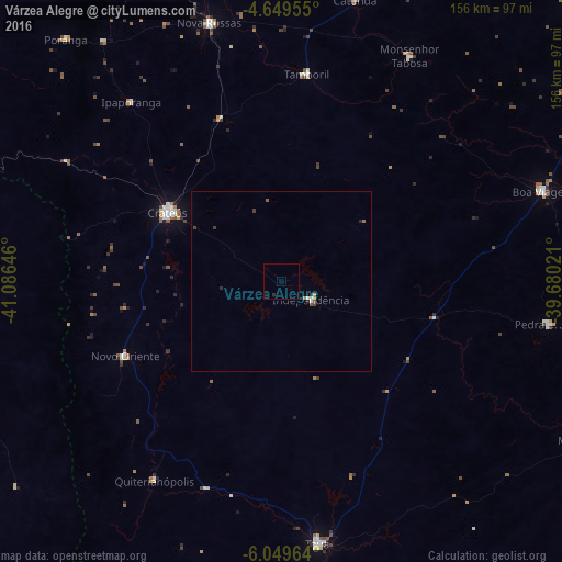
Analysis of Várzea Alegre night lights 2016
Square area 10x10 km:
 0%
0%90-99
0%80-89
0%70-79
0%60-69
0%50-59
0%40-49
0%30-39
0%20-29
0.83%10-19
0%0-9
99.17%Square area 50x50 km:
0.06%90-99
0.04%80-89
0%70-79
0.04%60-69
0.09%50-59
0.08%40-49
0.07%30-39
0.1%20-29
0.17%10-19
0%0-9
99.35%Clear (daylight) street map image can be seen on geolist.org.
Map coordinates:
4° 38' 58.4" South, 41° 5' 11.3" West
5° 21' 0" South, 40° 22' 60" West
6° 2' 58.7" South, 39° 40' 48.8" West
Some cities around Várzea Alegre sort by population:
• Crateús
37.8 km =23.5 mi,  300°
300°
• São João dos Inhamuns
73.1 km =45.4 mi,  171°
171°
• Boa Viagem
76.2 km =47.3 mi,  71°
71°
• Nova Russas
74.2 km =46.1 mi,  344°
344°
• Pedra Branca
74.6 km =46.4 mi,  98°
98°
• Novo Oriente
47.9 km =29.8 mi,  244°
244°
• Tamboril
58 km =36 mi,  6°
6°
• Independência
9.7 km =6 mi,  121°
121°
3385467 (p: 21,841)
Sources (retrieved 2019-11-25):
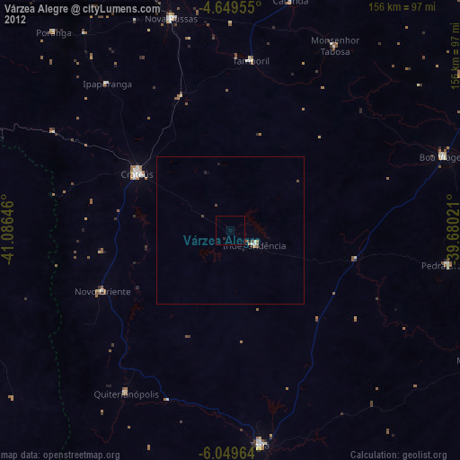
» Earth at Night: Flat Maps 2012, 2016