Crateús night lights from space
Night Light of Crateús (Ceará) from space (Brazil) Src. Average luminocity for 10x10km area is 24.3471% and for 50x50km: 1.6409%.
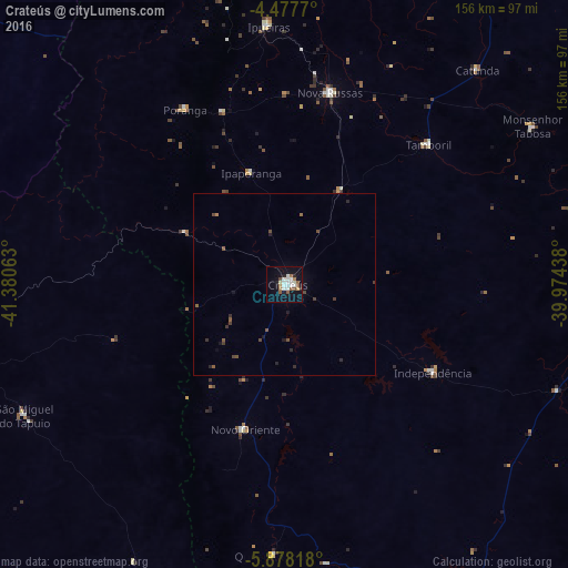
Analysis of Crateús night lights 2016
Square area 10x10 km:
 5.37%
5.37%90-99
6.2%80-89
1.03%70-79
1.45%60-69
1.86%50-59
5.58%40-49
0.83%30-39
0.41%20-29
2.48%10-19
22.73%0-9
52.07%Square area 50x50 km:
0.22%90-99
0.26%80-89
0.04%70-79
0.06%60-69
0.12%50-59
0.45%40-49
0.33%30-39
0.25%20-29
0.36%10-19
1.13%0-9
96.78%Clear (daylight) street map image can be seen on geolist.org.
Map coordinates:
4° 28' 39.7" South, 41° 22' 50.3" West
5° 10' 42" South, 40° 40' 39" West
5° 52' 41.4" South, 39° 58' 27.8" West
Some cities around Crateús sort by population:
• Ipu
95.3 km =59.2 mi,  357°
357°
• Nova Russas
54 km =33.6 mi,  13°
13°
• Várzea Alegre
37.8 km =23.5 mi,  120°
120°
• Novo Oriente
41 km =25.5 mi,  195°
195°
• Tamboril
55.2 km =34.3 mi,  45°
45°
• Independência
47.5 km =29.5 mi, 120°
• Hidrolândia
89.7 km =55.7 mi,  17°
17°
• São Miguel do Tapuio
80.1 km =49.8 mi,  243°
243°
3401548 (p: 52,933)
Sources (retrieved 2019-11-25):
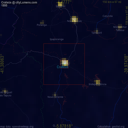
» NASA, Earths city lights 1995
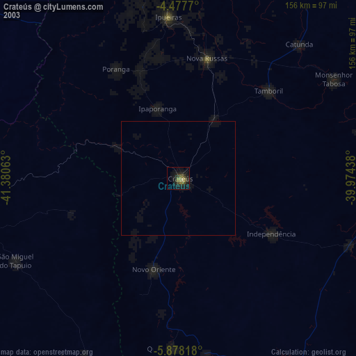
» NASA city lights 2003
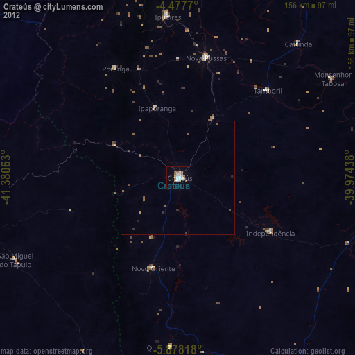
» Earth at Night: Flat Maps 2012, 2016