Boa Viagem night lights from space
Night Light of Boa Viagem (Ceará) from space (Brazil) Src. Average luminocity for 10x10km area is 14.8223% and for 50x50km: 0.973%.
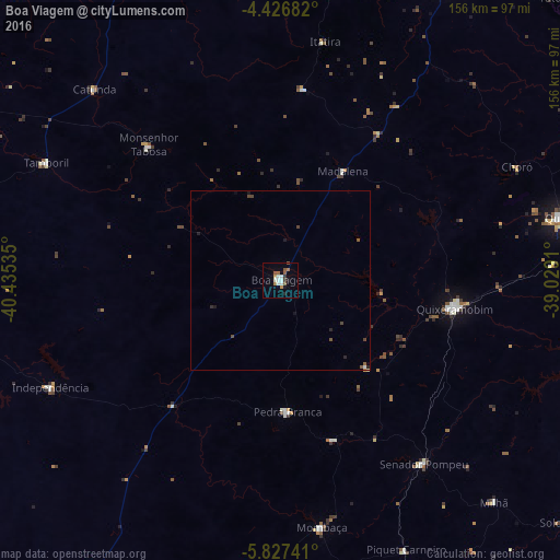
Analysis of Boa Viagem night lights 2016
Square area 10x10 km:
 2.48%
2.48%90-99
3.1%80-89
0.21%70-79
1.65%60-69
1.86%50-59
4.34%40-49
0.41%30-39
1.45%20-29
0.83%10-19
1.86%0-9
81.82%Square area 50x50 km:
0.1%90-99
0.17%80-89
0.02%70-79
0.09%60-69
0.08%50-59
0.31%40-49
0.23%30-39
0.06%20-29
0.21%10-19
0.21%0-9
98.53%Clear (daylight) street map image can be seen on geolist.org.
Map coordinates:
4° 25' 36.6" South, 40° 26' 7.3" West
5° 7' 39" South, 39° 43' 56" West
5° 49' 38.7" South, 39° 1' 44.8" West
Some cities around Boa Viagem sort by population:
• Quixadá
81.3 km =50.5 mi,  77°
77°
• Quixeramobim
49.3 km =30.6 mi,  99°
99°
• Várzea Alegre
76.2 km =47.3 mi,  251°
251°
• Pedra Branca
36.4 km =22.6 mi,  177°
177°
• Mombaça
69.4 km =43.1 mi,  170°
170°
• Senador Pompeu
64.9 km =40.3 mi,  142°
142°
• Tamboril
73 km =45.4 mi,  296°
296°
• Independência
70.5 km =43.8 mi,  244°
244°
3405616 (p: 24,671)
Sources (retrieved 2019-11-25):
» Earth at Night: Flat Maps 2012, 2016