Pedra Branca night lights from space
Night Light of Pedra Branca (Ceará) from space (Brazil) Src. Average luminocity for 10x10km area is 7.1756% and for 50x50km: 0.7912%.

Analysis of Pedra Branca night lights 2016
Square area 10x10 km:
 0.83%
0.83%90-99
3.31%80-89
0%70-79
1.65%60-69
0%50-59
0%40-49
0.83%30-39
0.83%20-29
0%10-19
0%0-9
92.56%Square area 50x50 km:
0.05%90-99
0.23%80-89
0.04%70-79
0.1%60-69
0.03%50-59
0.14%40-49
0.2%30-39
0.17%20-29
0.14%10-19
0.03%0-9
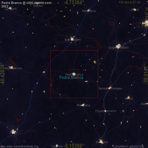
98.87%Clear (daylight) street map image can be seen on geolist.org.
Map coordinates:
4° 45' 13.8" South, 40° 25' 13.3" West
5° 27' 15" South, 39° 43' 2" West
6° 9' 13.3" South, 39° 0' 50.8" West
Some cities around Pedra Branca sort by population:
• Quixeramobim
54.9 km =34.1 mi,  58°
58°
• São João dos Inhamuns
87.2 km =54.2 mi,  225°
225°
• Boa Viagem
36.4 km =22.6 mi,  357°
357°
• Acopiara
77.1 km =47.9 mi,  157°
157°
• Várzea Alegre
74.6 km =46.4 mi,  278°
278°
• Mombaça
33.6 km =20.9 mi, 162°
• Senador Pompeu
41 km =25.5 mi,  111°
111°
• Independência
65.8 km =40.9 mi, 275°
3392629 (p: 20,072)
Sources (retrieved 2019-11-25):
» Earth at Night: Flat Maps 2012, 2016