Tamboril night lights from space
Night Light of Tamboril (Ceará) from space (Brazil) Src. Average luminocity for 10x10km area is 6.0723% and for 50x50km: 1.0219%.
Analysis of Tamboril night lights 2016
Square area 10x10 km:
 1.45%
1.45%90-99
0.62%80-89
2.07%70-79
0%60-69
0%50-59
1.65%40-49
0.83%30-39
0%20-29
0%10-19
0%0-9
93.39%Square area 50x50 km:
0.09%90-99
0.07%80-89
0.18%70-79
0.05%60-69
0.14%50-59
0.33%40-49
0.21%30-39
0.14%20-29
0.27%10-19
0.06%0-9
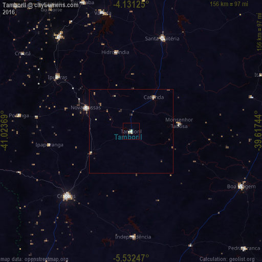
98.47%Clear (daylight) street map image can be seen on geolist.org.
Map coordinates:
4° 7' 52.5" South, 41° 1' 25.3" West
4° 49' 56" South, 40° 19' 14" West
5° 31' 56.9" South, 39° 37' 2.8" West
Some cities around Tamboril sort by population:
• Crateús
55.2 km =34.3 mi,  225°
225°
• Ipu
71.3 km =44.3 mi,  322°
322°
• Boa Viagem
73 km =45.4 mi,  116°
116°
• Santa Quitéria
58.5 km =36.4 mi,  18°
18°
• Nova Russas
30.3 km =18.8 mi,  297°
297°
• Várzea Alegre
58 km =36 mi,  186°
186°
• Independência
62.7 km =39 mi,  178°
178°
• Hidrolândia
48.9 km =30.4 mi,  344°
344°
3386874 (p: 14,292)
Sources (retrieved 2019-11-25):
» Earth at Night: Flat Maps 2012, 2016