Novo Oriente night lights from space
Night Light of Novo Oriente (Ceará) from space (Brazil) Src. Average luminocity for 10x10km area is 7.2293% and for 50x50km: 0.7743%.
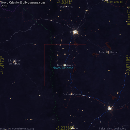
Analysis of Novo Oriente night lights 2016
Square area 10x10 km:
 1.03%
1.03%90-99
1.45%80-89
0.83%70-79
0.83%60-69
0.83%50-59
1.65%40-49
0.83%30-39
0.83%20-29
0.83%10-19
0%0-9
90.91%Square area 50x50 km:
0.04%90-99
0.06%80-89
0.03%70-79
0.09%60-69
0.1%50-59
0.19%40-49
0.25%30-39
0.21%20-29
0.37%10-19
0.19%0-9
98.47%Clear (daylight) street map image can be seen on geolist.org.
Map coordinates:
4° 50' 3.1" South, 41° 28' 38.3" West
5° 32' 4" South, 40° 46' 27" West
6° 14' 1.9" South, 40° 4' 15.8" West
Some cities around Novo Oriente sort by population:
• Crateús
41 km =25.5 mi,  15°
15°
• São João dos Inhamuns
75 km =46.6 mi,  133°
133°
• Várzea Alegre
47.9 km =29.8 mi,  64°
64°
• Parambu
75.8 km =47.1 mi,  173°
173°
• Tamboril
92.8 km =57.7 mi,  32°
32°
• Independência
53.8 km =33.4 mi,  73°
73°
• Castelo do Piauí
89.3 km =55.5 mi,  285°
285°
• São Miguel do Tapuio
60.9 km =37.8 mi,  273°
273°
3393783 (p: 14,529)
Sources (retrieved 2019-11-25):
» Earth at Night: Flat Maps 2012, 2016