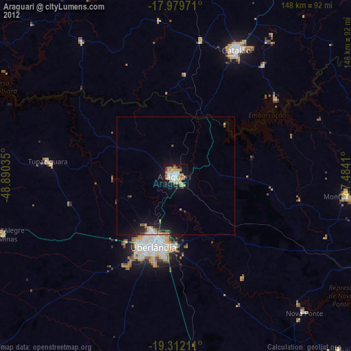
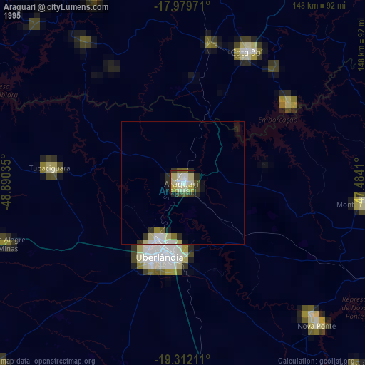
Araguari night lights from space
Night Light of Araguari (Minas Gerais) from space (Brazil) Src. Average luminocity for 10x10km area is 55.2583% and for 50x50km: 4.6014%.
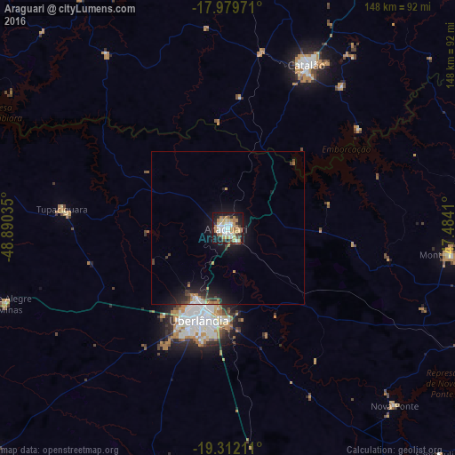

Analysis of Araguari night lights 2016
Square area 10x10 km:
 8.68%
8.68%90-99
12.81%80-89
7.23%70-79
13.84%60-69
9.09%50-59
4.55%40-49
3.72%30-39
5.17%20-29
9.5%10-19
24.38%0-9
1.03%Square area 50x50 km:
0.54%90-99
0.64%80-89
0.34%70-79
0.89%60-69
0.69%50-59
0.3%40-49
0.51%30-39
0.74%20-29
1.26%10-19
4.61%0-9
89.47%Clear (daylight) street map image can be seen on geolist.org.
Map coordinates:
17° 58' 47" South, 48° 53' 25.3" West
18° 38' 50" South, 48° 11' 14" West
19° 18' 43.6" South, 47° 29' 2.8" West
Some cities around Araguari sort by population:
• Uberlândia
31.6 km =19.6 mi,  197°
197°
• Catalão
59.2 km =36.8 mi,  25°
25°
• Monte Carmelo
73 km =45.4 mi,  96°
96°
• Tupaciguara
54.9 km =34.1 mi,  276°
276°
• Coromandel
105.8 km =65.7 mi,  79°
79°
• Ipameri
102.9 km =63.9 mi,  1°
1°
• Monte Alegre de Minas
77.1 km =47.9 mi,  251°
251°
• Buriti Alegre
106.2 km =66 mi,  302°
302°
3471830 (p: 96,565)
Sources (retrieved 2019-11-25):
» NASA, Earths city lights 1995
» NASA city lights 2003
» Earth at Night: Flat Maps 2012, 2016