Tarauacá night lights from space
Night Light of Tarauacá (Acre) from space (Brazil) Src. Average luminocity for 10x10km area is 10.8822% and for 50x50km: 0.4728%.
Analysis of Tarauacá night lights 2016
Square area 10x10 km:
 0.83%
0.83%90-99
4.13%80-89
0.83%70-79
0%60-69
0.62%50-59
0.62%40-49
4.96%30-39
1.24%20-29
0%10-19
0%0-9
86.78%Square area 50x50 km:
0.03%90-99
0.17%80-89
0.03%70-79
0%60-69
0.03%50-59
0.03%40-49
0.2%30-39
0.08%20-29
0%10-19
0%0-9
99.43%Clear (daylight) street map image can be seen on geolist.org.
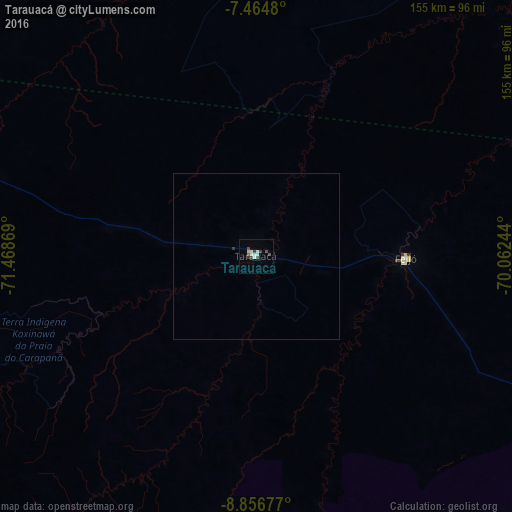
Map coordinates:
7° 27' 53.3" South, 71° 28' 7.3" West
8° 9' 41" South, 70° 45' 56" West
8° 51' 24.4" South, 70° 3' 44.8" West
Some cities around Tarauacá sort by population:
• Cruzeiro do Sul
218.8 km =136 mi,  285°
285°
• Sena Madureira
251 km =156 mi,  113°
113°
• Eirunepé
193.7 km =120.4 mi,  30°
30°
• Boca do Acre
376.2 km =233.8 mi,  100°
100°
• Feijó
45.2 km =28.1 mi,  90°
90°
• Envira
113.3 km =70.4 mi, 32°
• Mâncio Lima
242.4 km =150.6 mi,  284°
284°
• Xapuri
371.7 km =231 mi,  138°
138°
3661980 (p: 16,526)
Sources (retrieved 2019-11-25):
» Earth at Night: Flat Maps 2012, 2016