Eirunepé night lights from space
Night Light of Eirunepé (Amazonas) from space (Brazil) Src. Average luminocity for 10x10km area is 4.6775% and for 50x50km: 0.187%.
Analysis of Eirunepé night lights 2016
Square area 10x10 km:
 0%
0%90-99
0.87%80-89
0.87%70-79
0.87%60-69
0.22%50-59
0.65%40-49
0.87%30-39
1.52%20-29
1.08%10-19
1.3%0-9
91.77%Square area 50x50 km:
0%90-99
0.03%80-89
0.03%70-79
0.03%60-69
0.01%50-59
0.03%40-49
0.03%30-39
0.06%20-29
0.04%10-19
0.05%0-9
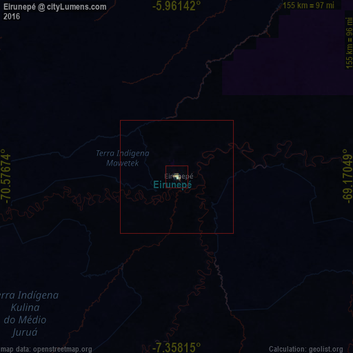
99.67%Clear (daylight) street map image can be seen on geolist.org.
Map coordinates:
5° 57' 41.1" South, 70° 34' 36.3" West
6° 39' 37" South, 69° 52' 25" West
7° 21' 29.3" South, 69° 10' 13.8" West
Some cities around Eirunepé sort by population:
• Leticia, CO
272 km =169 mi,  358°
358°
• Tabatinga
270.2 km =167.9 mi, 358°
• Tarauacá
193.7 km =120.4 mi,  210°
210°
• Benjamin Constant
254.6 km =158.2 mi, 356°
• Feijó
175.6 km =109.1 mi,  197°
197°
• Envira
80.6 km =50.1 mi, 208°
• Jutaí
196.4 km =122 mi,  33°
33°
• Ramón Castilla, PE
267 km =165.9 mi, 358°
3664321 (p: 17,175)
Sources (retrieved 2019-11-25):
» Earth at Night: Flat Maps 2012, 2016