Tanhaçu night lights from space
Night Light of Tanhaçu (Bahia) from space (Brazil) Src. Average luminocity for 10x10km area is 8.1299% and for 50x50km: 1.2059%.
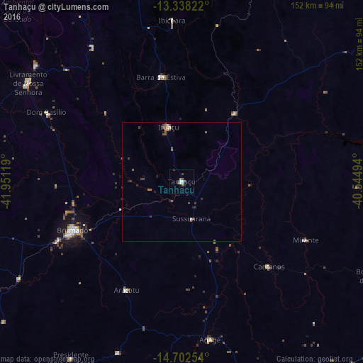
Analysis of Tanhaçu night lights 2016
Square area 10x10 km:
 1.3%
1.3%90-99
2.16%80-89
0%70-79
0%60-69
1.52%50-59
1.08%40-49
3.03%30-39
0%20-29
1.73%10-19
0%0-9
89.18%Square area 50x50 km:
0.08%90-99
0.17%80-89
0.03%70-79
0.01%60-69
0.26%50-59
0.44%40-49
0.28%30-39
0.33%20-29
0.28%10-19
0.18%0-9
97.96%Clear (daylight) street map image can be seen on geolist.org.
Map coordinates:
13° 20' 17.6" South, 41° 57' 4.3" West
14° 1' 17" South, 41° 14' 53" West
14° 42' 9.1" South, 40° 32' 41.8" West
Some cities around Tanhaçu sort by population:
• Vitória da Conquista
103.7 km =64.4 mi,  154°
154°
• Brumado
49.3 km =30.6 mi,  245°
245°
• Poções
110.6 km =68.7 mi,  120°
120°
• Maracás
109.3 km =67.9 mi,  53°
53°
• Livramento do Brumado
76.5 km =47.5 mi,  302°
302°
• Santana
77.4 km =48.1 mi,  230°
230°
• Barra da Estiva
44.8 km =27.8 mi,  349°
349°
• São Felipe
92.2 km =57.3 mi,  189°
189°
3446971 (p: 6,620)
Sources (retrieved 2019-11-25):
» Earth at Night: Flat Maps 2012, 2016