Poções night lights from space
Night Light of Poções (Bahia) from space (Brazil) Src. Average luminocity for 10x10km area is 18.7121% and for 50x50km: 1.5455%.
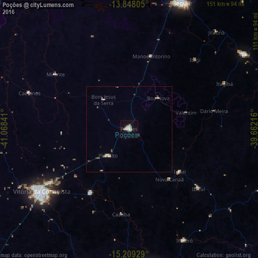
Analysis of Poções night lights 2016
Square area 10x10 km:
 4.11%
4.11%90-99
3.68%80-89
2.38%70-79
0.87%60-69
2.38%50-59
2.16%40-49
1.52%30-39
0.65%20-29
1.08%10-19
5.19%0-9
75.97%Square area 50x50 km:
0.24%90-99
0.23%80-89
0.18%70-79
0.13%60-69
0.2%50-59
0.3%40-49
0.22%30-39
0.14%20-29
0.16%10-19
0.25%0-9
97.94%Clear (daylight) street map image can be seen on geolist.org.
Map coordinates:
13° 50' 53" South, 41° 4' 6.3" West
14° 31' 47" South, 40° 21' 55" West
15° 12' 33.4" South, 39° 39' 43.8" West
Some cities around Poções sort by population:
• Vitória da Conquista
63.2 km =39.3 mi,  233°
233°
• Jequié
80.5 km =50 mi,  22°
22°
• Itororó
72.6 km =45.1 mi,  154°
154°
• Iguaí
39 km =24.2 mi,  130°
130°
• Jitaúna
76.4 km =47.5 mi,  41°
41°
• Ibicuí
53.5 km =33.2 mi, 130°
• Itagi
56.2 km =34.9 mi, 43°
• Itagibá
62.6 km =38.9 mi,  64°
64°
3453337 (p: 35,254)
Sources (retrieved 2019-11-25):
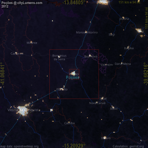
» Earth at Night: Flat Maps 2012, 2016