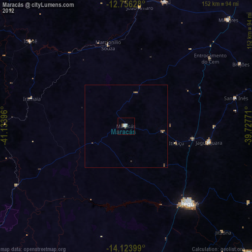
Maracás night lights from space
Night Light of Maracás (Bahia) from space (Brazil) Src. Average luminocity for 10x10km area is 10.4174% and for 50x50km: 0.8216%.
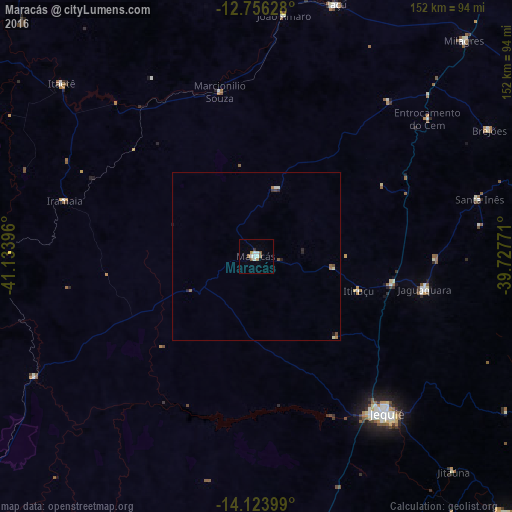
Analysis of Maracás night lights 2016
Square area 10x10 km:
 1.65%
1.65%90-99
3.31%80-89
0.21%70-79
0.62%60-69
1.03%50-59
3.1%40-49
0%30-39
0.83%20-29
0%10-19
0%0-9
89.26%Square area 50x50 km:
0.07%90-99
0.21%80-89
0.06%70-79
0.05%60-69
0.14%50-59
0.2%40-49
0.1%30-39
0.07%20-29
0.14%10-19
0.08%0-9
98.88%Clear (daylight) street map image can be seen on geolist.org.
Map coordinates:
12° 45' 22.6" South, 41° 8' 2.3" West
13° 26' 28" South, 40° 25' 51" West
14° 7' 26.4" South, 39° 43' 39.8" West
Some cities around Maracás sort by population:
• Jequié
59.6 km =37 mi,  141°
141°
• Jaguaquara
50.7 km =31.5 mi,  101°
101°
• Iaçu
78.6 km =48.8 mi,  17°
17°
• Jitaúna
85.7 km =53.3 mi, 137°
• Itiruçu
32 km =19.9 mi,  108°
108°
• Itagi
92.4 km =57.4 mi,  150°
150°
• Santa Inês
68.2 km =42.4 mi,  75°
75°
• Ubaíra
85.3 km =53 mi, 76°
3457854 (p: 22,049)
Sources (retrieved 2019-11-25):
» Earth at Night: Flat Maps 2012, 2016