Vitória da Conquista night lights from space
Night Light of Vitória da Conquista (Bahia) from space (Brazil) Src. Average luminocity for 10x10km area is 83.4814% and for 50x50km: 7.8326%.
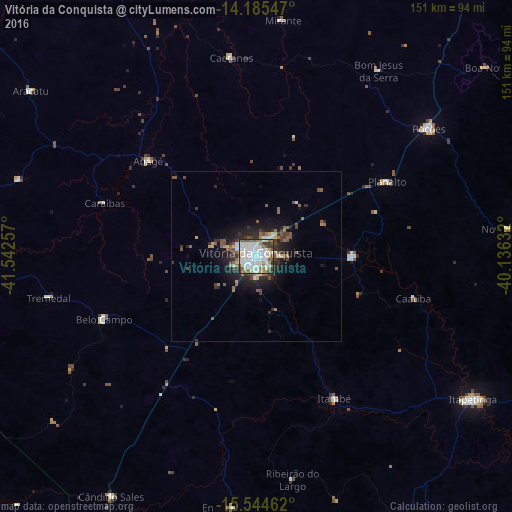

Analysis of Vitória da Conquista night lights 2016
Square area 10x10 km:
 32.02%
90-99
32.85%80-89
2.89%70-79
4.13%60-69
6.61%50-59
8.26%40-49
7.85%30-39
4.55%20-29
0.83%10-19
0%0-9
0%Square area 50x50 km:
1.4%90-99
1.74%80-89
0.37%70-79
0.45%60-69
0.72%50-59
1.79%40-49
1.17%30-39
1.26%20-29
2.22%10-19
4.47%0-9
84.41%Clear (daylight) street map image can be seen on geolist.org.
Map coordinates:
14° 11' 7.7" South, 41° 32' 33.3" West
14° 51' 58" South, 40° 50' 22" West
15° 32' 40.6" South, 40° 8' 10.8" West
Some cities around Vitória da Conquista sort by population:
• Itapetinga
76.5 km =47.5 mi,  123°
123°
• Poções
63.2 km =39.3 mi,  53°
53°
• Itambé
48 km =29.8 mi,  151°
151°
• Itororó
87.2 km =54.2 mi,  108°
108°
• Iguaí
81.6 km =50.7 mi,  81°
81°
• Ibicuí
91.7 km =57 mi,  88°
88°
• São Felipe
59.4 km =36.9 mi,  272°
272°
• Tanhaçu
103.7 km =64.4 mi,  334°
334°
3444914 (p: 253,137)
Sources (retrieved 2019-11-25):
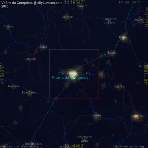
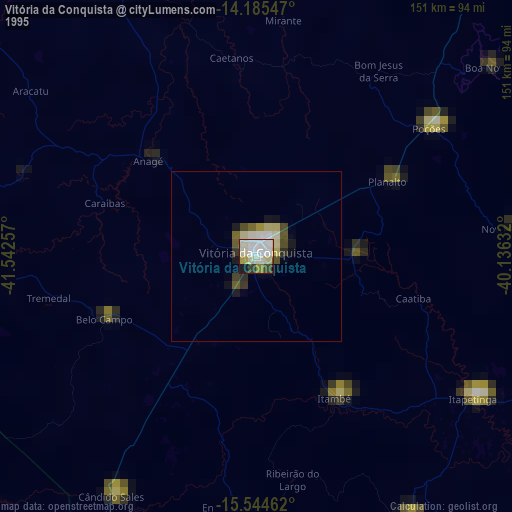
» NASA, Earths city lights 1995
» NASA city lights 2003
» Earth at Night: Flat Maps 2012, 2016