Sobral night lights from space
Night Light of Sobral (Ceará) from space (Brazil) Src. Average luminocity for 10x10km area is 63.9827% and for 50x50km: 7.4987%.
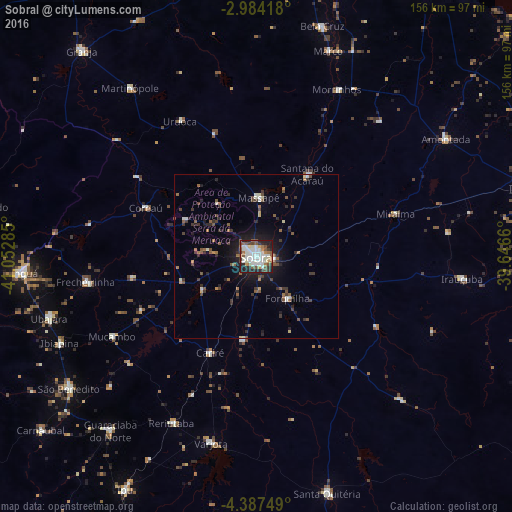
Analysis of Sobral night lights 2016
Square area 10x10 km:
 15.8%
15.8%90-99
21.86%80-89
3.68%70-79
3.25%60-69
8.01%50-59
11.26%40-49
6.93%30-39
6.93%20-29
15.37%10-19
6.93%0-9
0%Square area 50x50 km:
0.74%90-99
1.28%80-89
0.46%70-79
0.34%60-69
0.93%50-59
1.72%40-49
1.21%30-39
1.44%20-29
2.08%10-19
4.41%0-9
85.4%Clear (daylight) street map image can be seen on geolist.org.
Map coordinates:
2° 59' 3" South, 41° 3' 10.3" West
3° 41' 10" South, 40° 20' 59" West
4° 23' 15" South, 39° 38' 47.8" West
Some cities around Sobral sort by population:
• Varjota
58.2 km =36.2 mi,  193°
193°
• Santana do Acaraú
29.4 km =18.3 mi,  31°
31°
• Forquilha
15.9 km =9.9 mi,  141°
141°
• Irauçuba
63.2 km =39.3 mi,  96°
96°
• Coreaú
38.1 km =23.7 mi,  296°
296°
• Reriutaba
56.8 km =35.3 mi,  206°
206°
• Ibiapina
65.4 km =40.6 mi,  246°
246°
• Cariré
32.4 km =20.1 mi, 205°
3387296 (p: 157,996)
Sources (retrieved 2019-11-25):
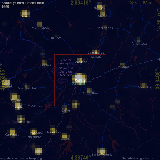
» NASA, Earths city lights 1995
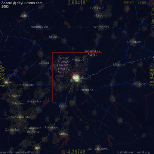
» NASA city lights 2003
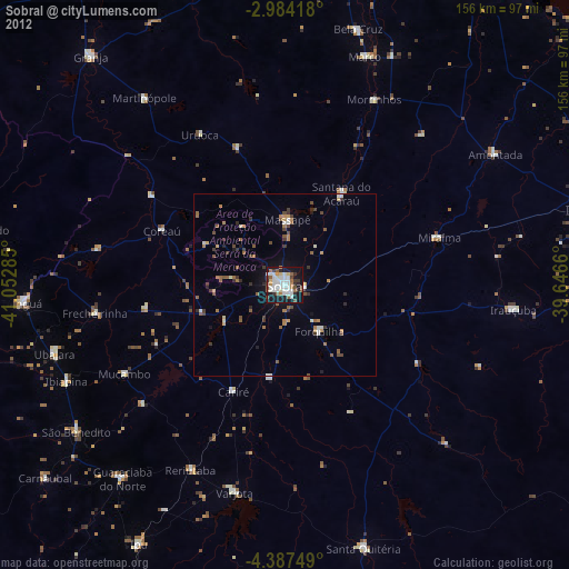
» Earth at Night: Flat Maps 2012, 2016