Forquilha night lights from space
Night Light of Forquilha (Ceará) from space (Brazil) Src. Average luminocity for 10x10km area is 10.4935% and for 50x50km: 6.3865%.
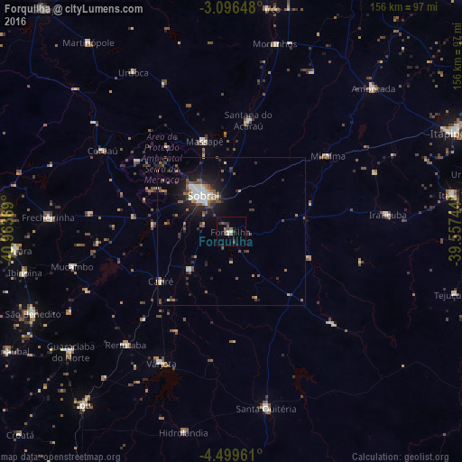
Analysis of Forquilha night lights 2016
Square area 10x10 km:
 1.3%
1.3%90-99
1.3%80-89
0%70-79
0%60-69
1.52%50-59
2.81%40-49
2.6%30-39
3.9%20-29
1.52%10-19
0.65%0-9
84.42%Square area 50x50 km:
0.73%90-99
1.1%80-89
0.34%70-79
0.31%60-69
0.87%50-59
1.46%40-49
0.89%30-39
1.14%20-29
1.89%10-19
4.25%0-9
87.01%Clear (daylight) street map image can be seen on geolist.org.
Map coordinates:
3° 5' 47.3" South, 40° 57' 49.3" West
3° 47' 54" South, 40° 15' 38" West
4° 29' 58.6" South, 39° 33' 26.8" West
Some cities around Forquilha sort by population:
• Sobral
15.9 km =9.9 mi,  321°
321°
• Santa Quitéria
60.4 km =37.5 mi,  169°
169°
• Varjota
50.1 km =31.1 mi,  208°
208°
• Santana do Acaraú
37.9 km =23.5 mi,  8°
8°
• Irauçuba
53.3 km =33.1 mi,  83°
83°
• Coreaú
52.9 km =32.9 mi,  303°
303°
• Reriutaba
52.3 km =32.5 mi,  223°
223°
• Cariré
29 km =18 mi,  234°
234°
3399445 (p: 13,409)
Sources (retrieved 2019-11-25):
» Earth at Night: Flat Maps 2012, 2016