Ibiapina night lights from space
Night Light of Ibiapina (Ceará) from space (Brazil) Src. Average luminocity for 10x10km area is 11.6017% and for 50x50km: 6.9928%.
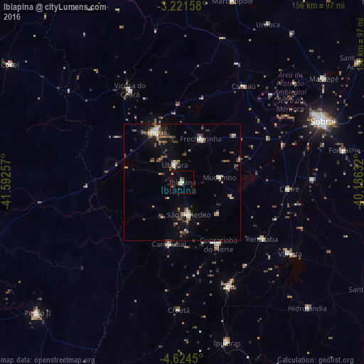
Analysis of Ibiapina night lights 2016
Square area 10x10 km:
 0.43%
0.43%90-99
3.25%80-89
0.65%70-79
0.22%60-69
2.81%50-59
1.3%40-49
0.87%30-39
0.87%20-29
2.81%10-19
0.65%0-9
86.15%Square area 50x50 km:
0.33%90-99
1.21%80-89
0.45%70-79
0.69%60-69
0.91%50-59
1.38%40-49
1.35%30-39
1.12%20-29
1.33%10-19
3.81%0-9
87.43%Clear (daylight) street map image can be seen on geolist.org.
Map coordinates:
3° 13' 17.7" South, 41° 35' 33.3" West
3° 55' 24" South, 40° 53' 22" West
4° 37' 28.2" South, 40° 11' 10.8" West
Some cities around Ibiapina sort by population:
• Tianguá
24.1 km =15 mi,  331°
331°
• Ipu
48.6 km =30.2 mi,  155°
155°
• Guaraciaba do Norte
31.3 km =19.4 mi,  149°
149°
• Viçosa do Ceará
46 km =28.6 mi, 330°
• Ubajara
8.4 km =5.2 mi,  335°
335°
• Coreaú
50.5 km =31.4 mi,  30°
30°
• Reriutaba
41.8 km =26 mi,  125°
125°
• Cariré
46.3 km =28.8 mi,  93°
93°
3398408 (p: 9,205)
Sources (retrieved 2019-11-25):
» Earth at Night: Flat Maps 2012, 2016