Varjota night lights from space
Night Light of Varjota (Ceará) from space (Brazil) Src. Average luminocity for 10x10km area is 12.0671% and for 50x50km: 2.4502%.
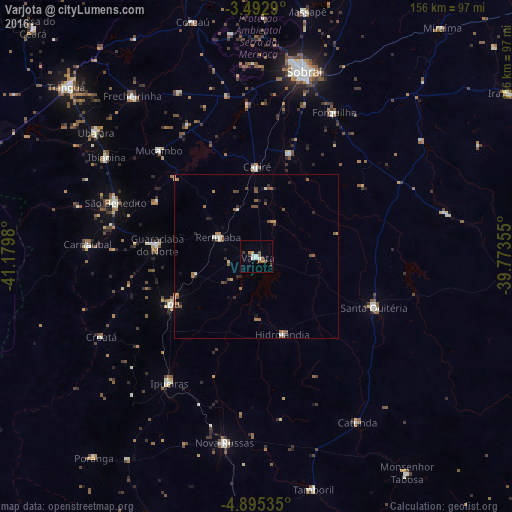
Analysis of Varjota night lights 2016
Square area 10x10 km:
 1.08%
1.08%90-99
3.25%80-89
0%70-79
0.87%60-69
2.81%50-59
2.38%40-49
1.73%30-39
1.73%20-29
0%10-19
0.87%0-9
85.28%Square area 50x50 km:
0.1%90-99
0.41%80-89
0.08%70-79
0.26%60-69
0.56%50-59
0.52%40-49
0.57%30-39
0.28%20-29
0.39%10-19
0.42%0-9
96.41%Clear (daylight) street map image can be seen on geolist.org.
Map coordinates:
3° 29' 34.4" South, 41° 10' 47.3" West
4° 11' 40" South, 40° 28' 36" West
4° 53' 43.3" South, 39° 46' 24.8" West
Some cities around Varjota sort by population:
• Ipu
29.6 km =18.4 mi,  241°
241°
• Santa Quitéria
38.6 km =24 mi,  113°
113°
• Guaraciaba do Norte
30.2 km =18.8 mi,  275°
275°
• Forquilha
50.1 km =31.1 mi,  28°
28°
• Reriutaba
13.1 km =8.1 mi,  296°
296°
• Hidrolândia
24.1 km =15 mi,  169°
169°
• Ibiapina
54.8 km =34.1 mi, 303°
• Cariré
27.1 km =16.8 mi,  0°
0°
3385504 (p: 16,462)
Sources (retrieved 2019-11-25):
» Earth at Night: Flat Maps 2012, 2016